

Great Britain on World Map for PowerPoint and Google Slides
Great Britain on World Map for PowerPoint and Google Slides
(2 Editable Slides)
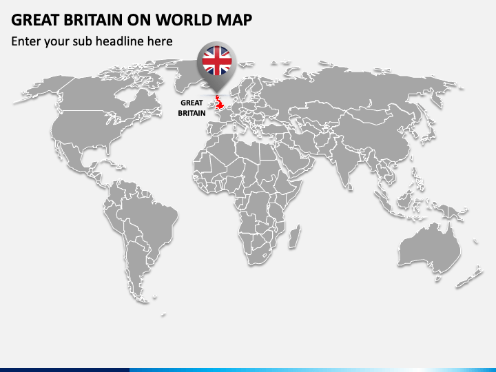
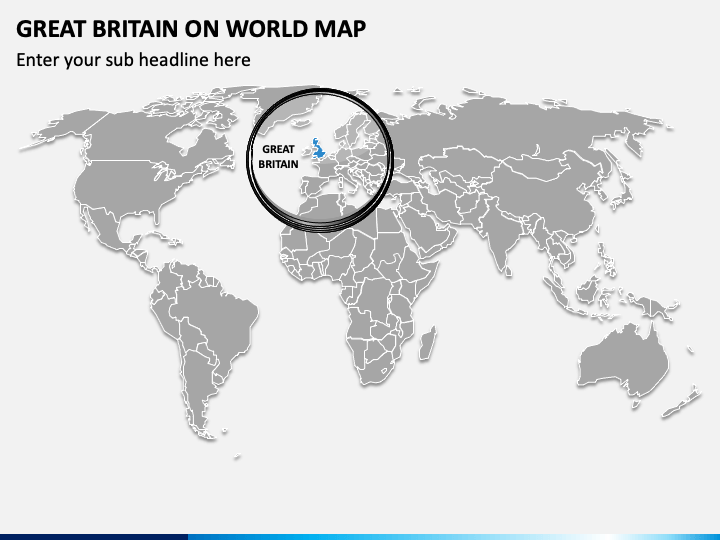
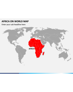
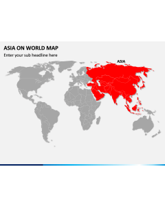
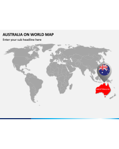
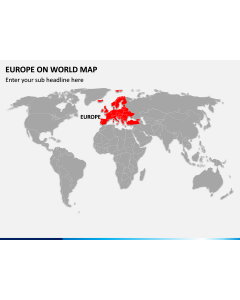
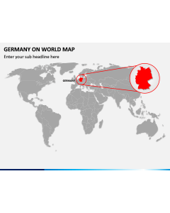
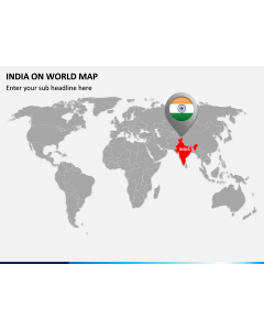
Download our Great Britain on World Map PowerPoint template to pinpoint the geographical boundaries of Great Britain on the world map. The set comprises geographic world map infographics highlighting the exact location of Great Britain via a circle and a GPS pin. Educators can use this entirely editable deck to render information like the largest country in Great Britain in terms of land area, the most-visiting country by tourists, etc., and their global relationships in various aspects.
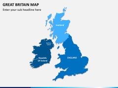
Using stunning map illustrations, business professionals can highlight the market conditions and legal requirements to address for establishing or expanding business in Britain. Further, you can also depict the countries’ ranking in the global liveability index, their global image/position economically, literacy rate, and much more.
Excellent Features
- The users can conveniently modify the deck elements without specialized skills or prior editing knowledge.
- All graphics are crafted in high–resolution to ensure they look the same, even on a large screen.
- Download this PPT once and gain lifelong access.
Gear up for crafting memorable presentations with these ravishing slides; get them now!