
illinois Map for PowerPoint and Google Slides
(9 Editable Slides)


illinois Map for PowerPoint and Google Slides

SB2746
Available For


Similar Products
- Sale

- Sale
- Sale
- Sale
- Sale
- Sale


Come up with interactive slideshows about this Midwestern state using our professionally designed illustrations. You will find all kinds of Illinois Map PPT slides here that you can use time after time to draft stunning presentations.
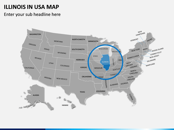
About Illinois
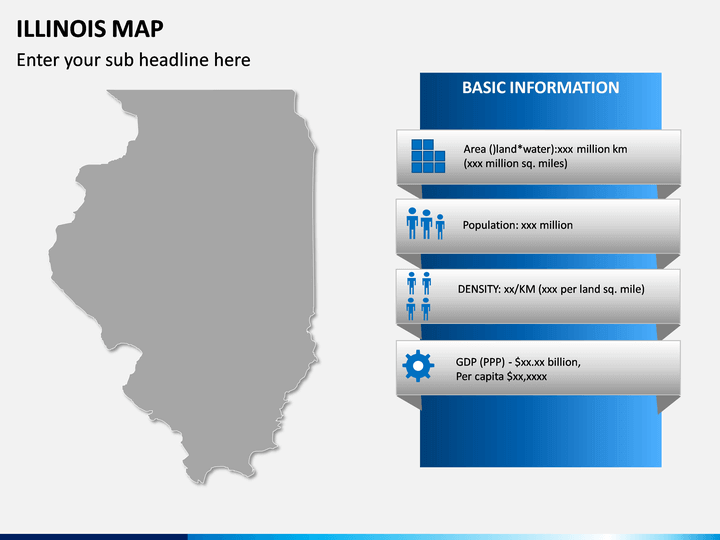
Located in the Midwestern region of the United States, Illinois is the 25th largest and the 6th most populated state in the country. It is the home of around 12 million people, 65% of them living in the Chicago metropolitan area. Although Springfield is the state’s capital, Chicago is its biggest city. It is surrounded by several other states like Iowa, Kentucky, Indiana, and Missouri. The state is known for its diverse landscape, politics, education, culture, and technology, among other fields.
Major Features
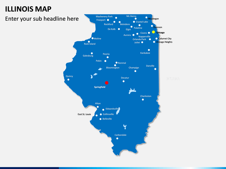
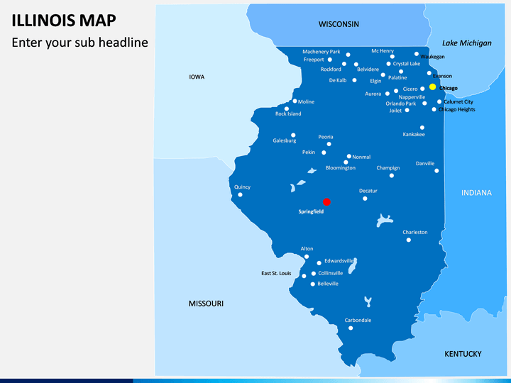
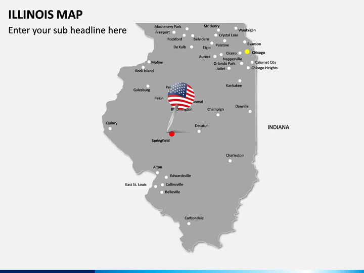
- The set consists of different kinds of maps about the state of Illinois that you can edit without any prior technical experience.
- We have come up with maps about the location of the state in the country and have even depicted all the major cities in the state as well.
- You can use these maps to depict all kinds of details about the state and even focus on any region by zooming it.
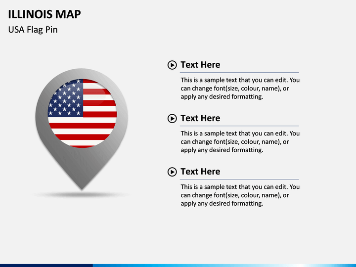
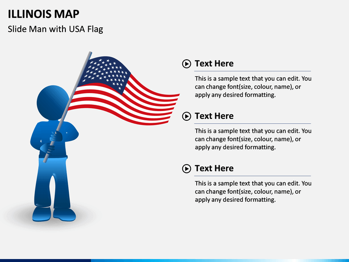
- The presentation template also features different icons, maps, and flags that you can use individually as well.
- The entire template is editable, and you can easily customize them with tools like MS PowerPoint, Apple Keynote, or Google Slides.
Who can use it?
Any professional who wants to draft a compelling slideshow related to this state can use these maps. If you want to discuss a marketing plan, would like to pitch a client, or just depict any content related to this state, then this would be a perfect set. You can draft stunning slideshows with minimum efforts and let your audience grasp all the essential details easily.
How to use it?
Using this Illinois Map PowerPoint template is extremely easy and does not need any designing experience as well. You can also use them with other platforms like Apple Keynote or Google Slides. Once you have downloaded the set, use these vectors with your preferred application and even edit them later on. This will let you customize your slides with minimum efforts.
Write Your Own Review

Related Products


