

Indiana Map for PowerPoint and Google Slides
Indiana Map for PowerPoint and Google Slides
(9 Editable Slides)

(9 Editable Slides)
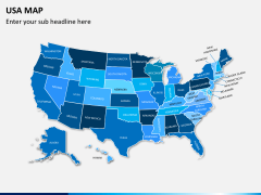
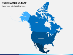
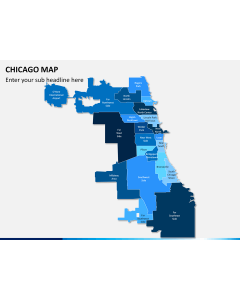
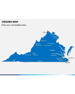
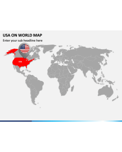
Related Presentation Templates

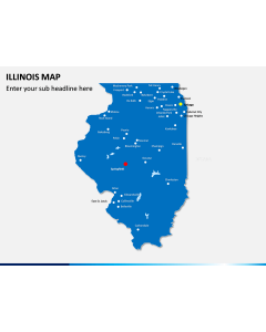

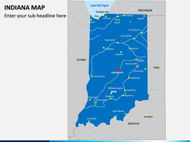
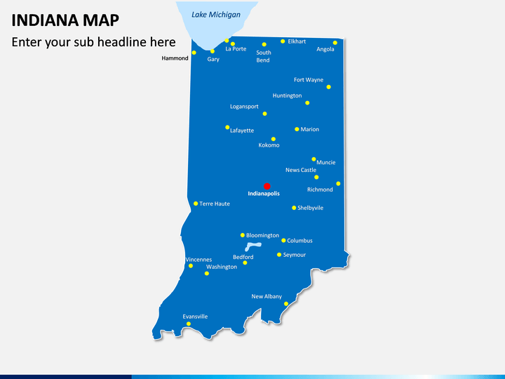
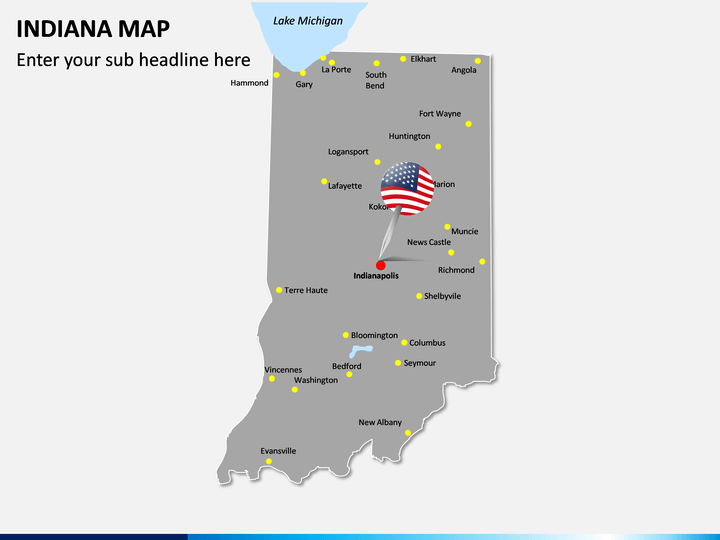
Get into the details about this diverse state in the most appealing manner using this Indiana Map PowerPoint template. It features several kinds of illustrations about the state that would help you draft visually stunning slideshows.
About Indiana
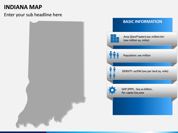
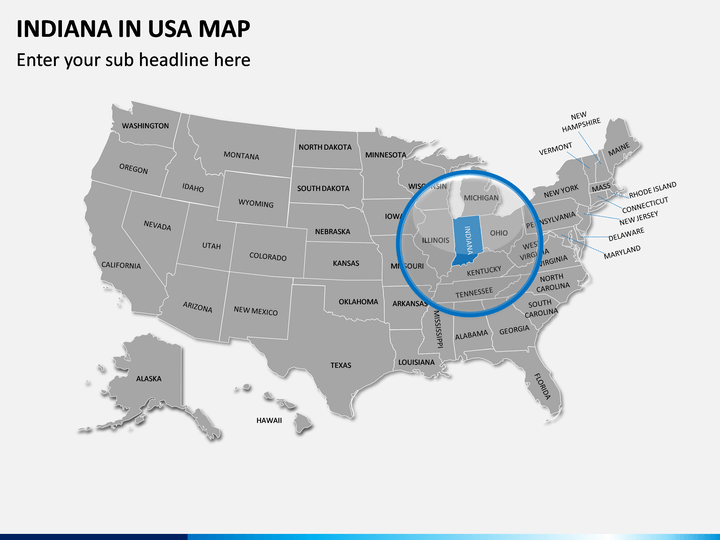
Located in the Midwest region, Indiana is the 17th most populous state in the United States. Apart from Lake Michigan, it borders other states like Ohio, Kentucky, Illinois, and Michigan. The state has a population of over 6.7 million people with Indianapolis as its capital, as well as the biggest city. The state is known for its diverse economy, having a GDP of around $350 million. This US state is known for its politics, sports, agriculture, tourism, literature, and other fields.
Major Features
- In this set, you can find a wide variety of maps related to the state of Indiana that you can use in different ways.
- You can find maps related to the geographical division of this state so that you can easily depict your information in an appealing manner.
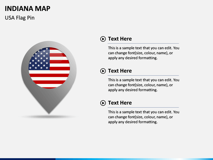
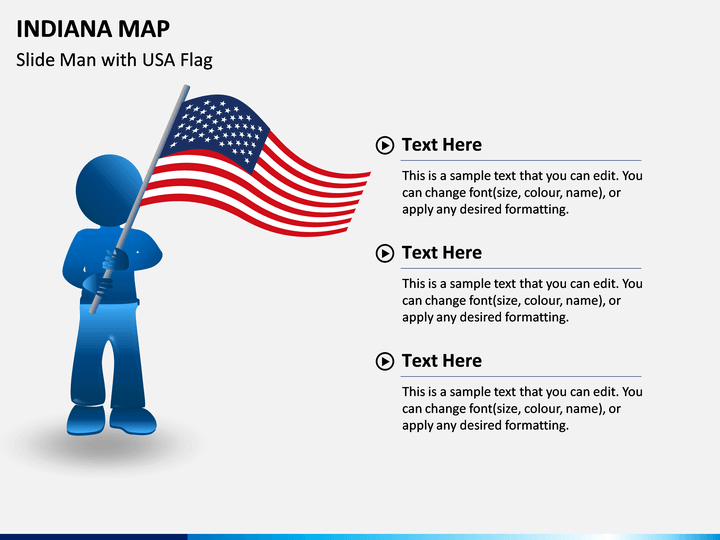
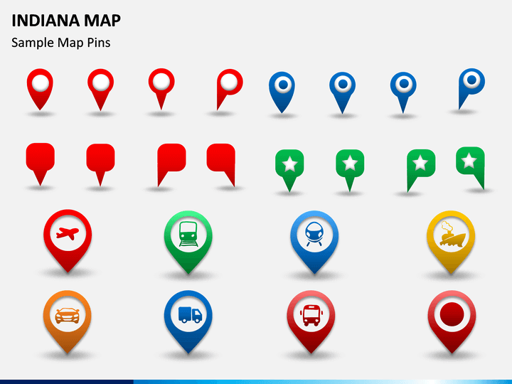
- There are different kinds of icons, pins, and flags that are also included in the set to add value to your slideshows.
- You can use these vectors and maps with leading platforms like MS PowerPoint, Apple Keynote, and Google Slides.
- Since these maps are entirely editable, you won’t encounter the slightest of trouble customizing them.
Who can use it?
Every individual who wants to draft a stunning slideshow related to the state can use this presentation template. Ideally, this will help you draft presentations to pitch new clients, provide details about your plan, and do so much more. From marketing to sales and management to strategy, professionals from every field can make the most of these HD maps.
How to use it?
All you got to do is download this Indiana Map PPT template and use it with PowerPoint, Apple Keynote, or Google Slides. You can include any map in your documents and further alter their overall appearance. Apart from changing its color or look, you can also add your content and present it in an appealing way. This will definitely save your time and efforts while drafting your next presentation related to this state.