

Michigan Map for PowerPoint and Google Slides
Michigan Map for PowerPoint and Google Slides
(9 Editable Slides)
(9 Editable Slides)
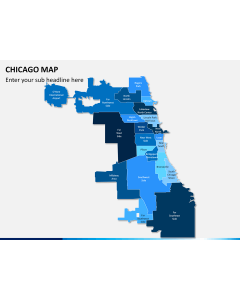
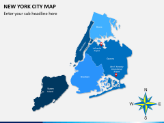
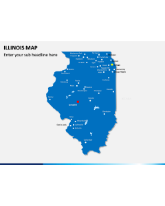
Related Presentation Templates


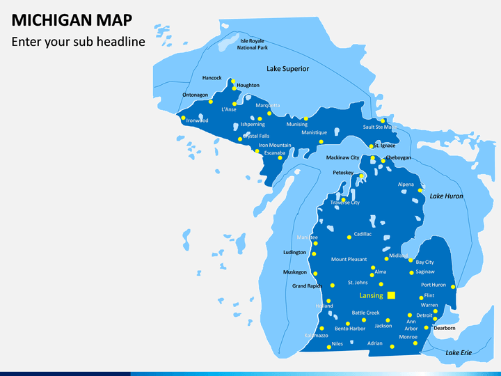
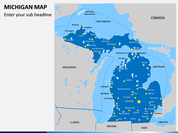
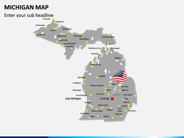
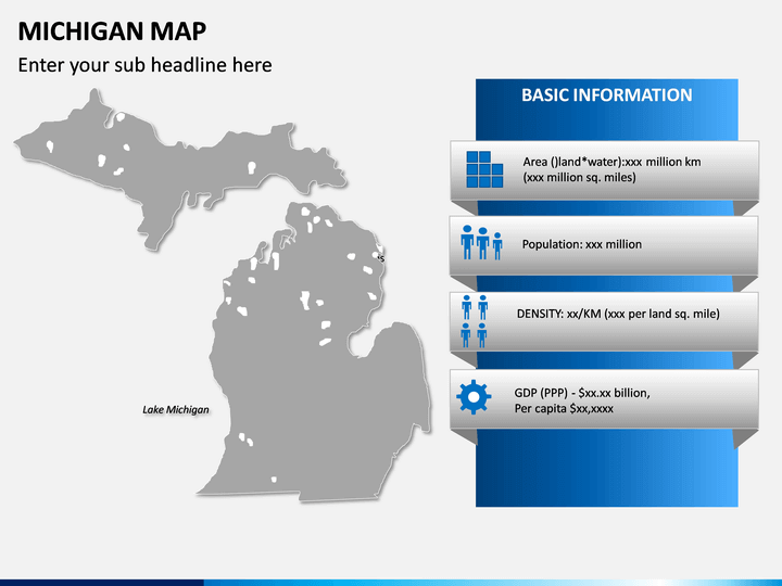
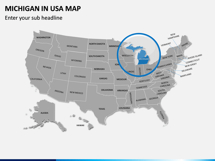
Educate your audience about this US state with the help of our Michigan Map PowerPoint template. It features different high-definition maps that you can use to come up with all kinds of informative slideshows in less time.
About Michigan
Michigan is situated in the Great Lakes region of the US, and the tenth most populated state with around 10 million residents. The word Michigan literally translates to “large lake” due to its vital position in the Great Lakes region. It is surrounded by four of the five great lakes of the region and other states like Indiana, Ohio, and Illinois. While Lansing is its capital, Detroit is the biggest city in the state. Apart from its natural beauty and diverse fauna and flora, it is also known for its manufacturing and automobile industry.
Major Features
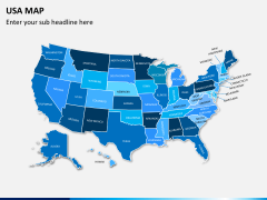
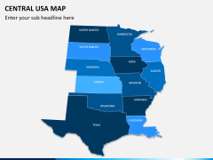
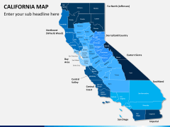
- In this set, you can find different styles of maps related to Michigan that you can readily use as per your requirements.
- With these maps, you can easily explain the overall geographical representation of the state and how it is politically divided.
- You can use these maps to depict all kinds of details about the state in a visually appealing manner. There are dedicated slides to explain demographic details about the state as well.
- All these gaphics are vector based and are compatible with MS PowerPoint, Apple Keynote, and Google Slides.
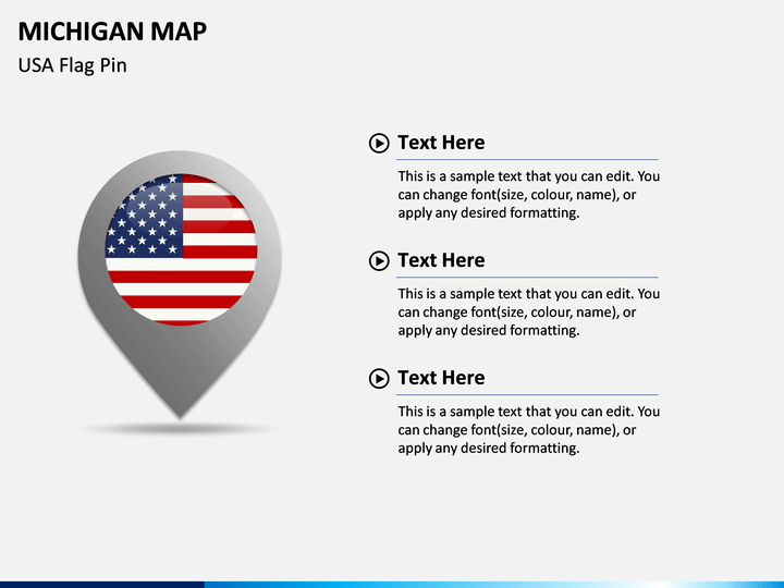
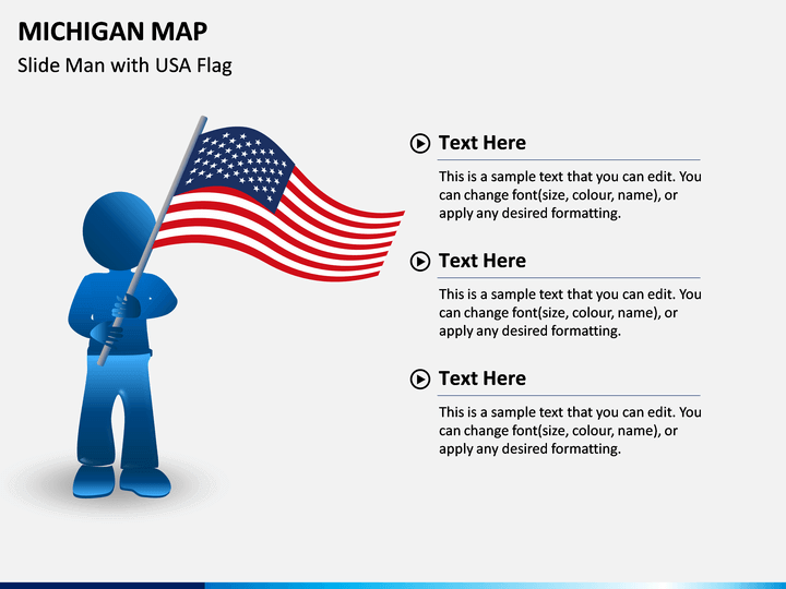
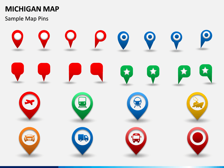
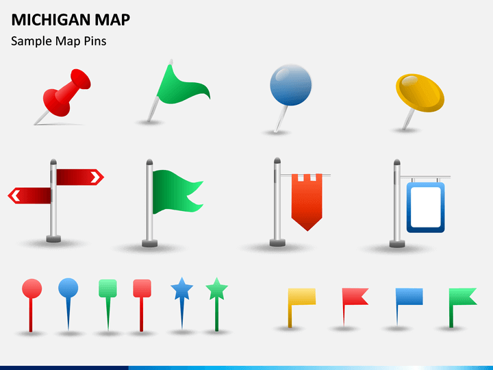
- There are also various kinds of pins, flags, and other vectors in the set that you can further use to customize your slideshows.
Who can use it?
This would be an ideal set for every individual who would like to draft an informative presentation related to this US state. With the help of these amazingly designed slides, you can pitch your clients or give your marketing plan a new look. It doesn’t matter if you wish to educate your audience about the state, present any demographic information, or convey your sales plan – these Michigan Map PPT slides will certainly help you.
How to use it?
After downloading this PPT, you can clip these illustrations, and include them in your documents. Later, you can add your content to them and change their overall appearance as per your requirements. This will let you draft customized presentations related to this state on the go.