

Croatia Map for PowerPoint and Google Slides
Croatia Map for PowerPoint and Google Slides
(15 Editable Slides)


(15 Editable Slides)
Related Presentation Templates
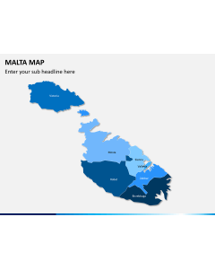
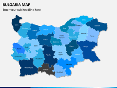
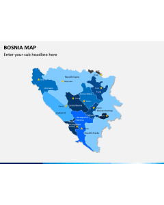
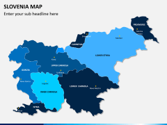
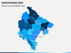
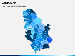
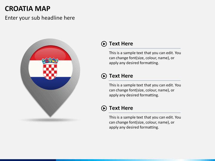
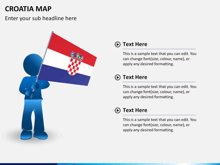
Sharing a business-related presentation with your client or stakeholders can be made more compelling and engaging by using high-quality illustrations and geographical maps. Here, at SketchBubble, we offer a proficiently and accurately designed Croatia Map PowerPoint template that consists of different well-sketched layouts of Croatia Map. Since this nation is landlocked by Serbia, Hungary, Bosnia & Herzegovina, Slovenia, and Montenegro, the major economic contribution is from the trading and foreign investment sectors. Many small-to-large companies have set up their processing and manufacturing ventures in this nation, thus offering great opportunities for local as well as foreign investors. As a project lead, you can use the map layouts from this deck to share your business prospects with your clients or investors to gain their confidence. Download this beautifully designed PPT right now!
Versatile Applications
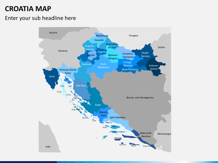
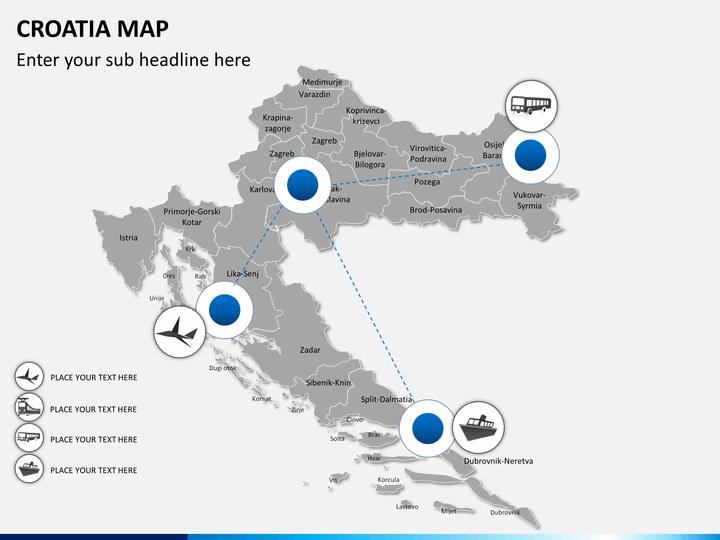
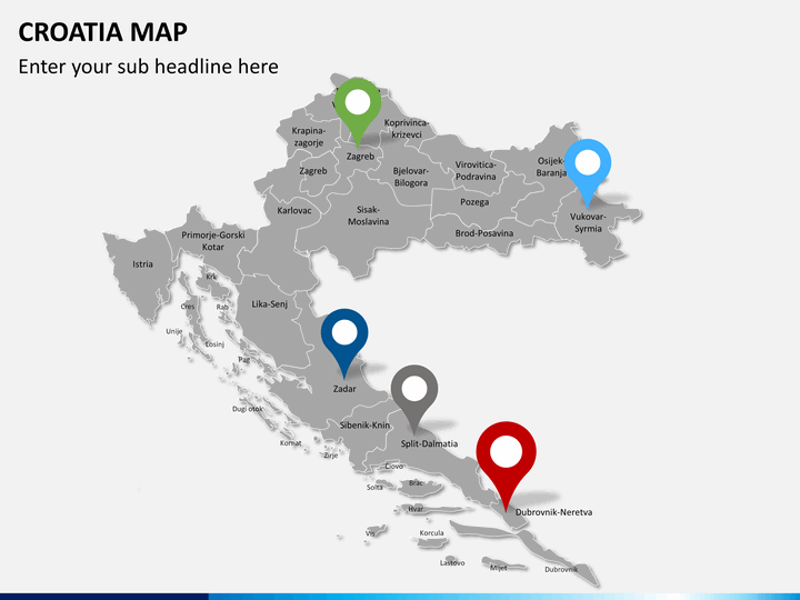
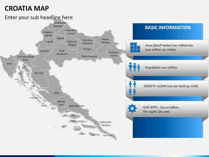
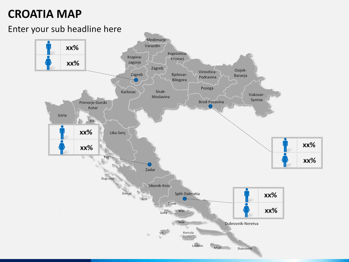
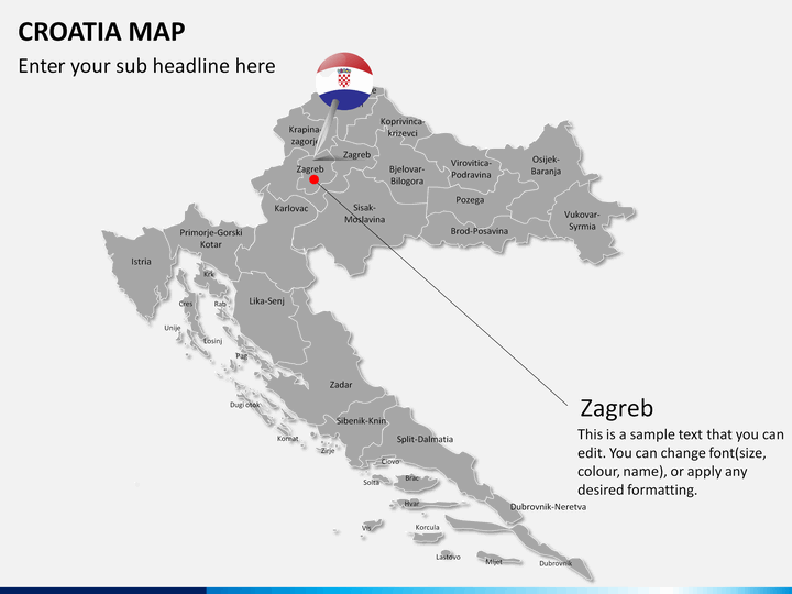
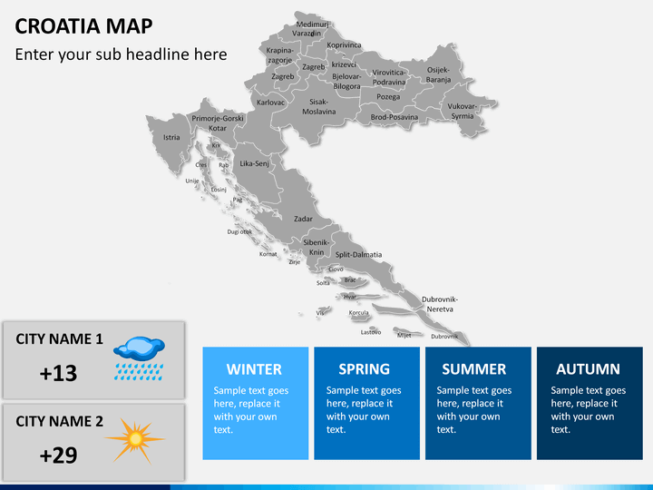
A presentation with a high-quality and well-sketched geographic map of a region can help viewers easily grasp all the information. Our skillful designers have created each of these maps in such a way that you can easily edit and use them for various purposes. Here, you will find a dedicated slide wherein neighboring countries are also designed along with the Croatia map. You can use it to share external trading, nearby resource locations, or political boundaries between the nations. Highlighting specific regions in these maps is very simple, just click on the desired location and choose the right color combination to make it blend with your theme. You can also use HD and vector-based objects, pin markers, illustrations, etc. to easily emphasize and share your information with the viewers. Our team of professionals designed this PPT with beautiful layouts and illustrations to ensure that you do not face any trouble while using it for different applications, such as branch locations, transport facilities, regional facts, weather conditions, etc.
Accurate and Editable Map Layouts
In this amazing template, you will find additional slides containing pin markers, icons, illustrations, etc. that you can use to highlight any information on the map easily. If you find any of the designs value-adding for your existing presentation, then you can simply snip and paste them as required. Each map layout is precisely made to ensure you get high-quality and accurate layouts.
High-Quality Visuals and Platform Compatibility
We have designed this PPT to be completely editable so that you can mold it easily to convey your message easily without any professional editing experience. You can even insert additional text in the given space to make the content more comprehensive for your audience. Our designers have used HD and vector-based illustrations and icons to avoid resolution quality issues even when displayed on different aspect ratios (16:9 and 4:3). There are separate compatible files for various platforms, like Microsoft PowerPoint, Google Slides, and Apple Keynote. Download this Croatia map PPT template right now, and you can use its content to share the essential details with your audience effectively.