

Ethiopia Map for PowerPoint and Google Slides
Ethiopia Map for PowerPoint and Google Slides
(16 Editable Slides)


(16 Editable Slides)
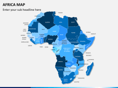
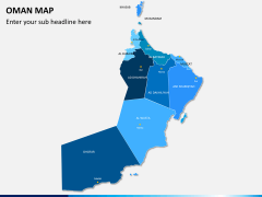
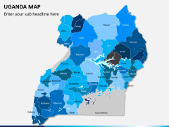
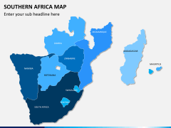
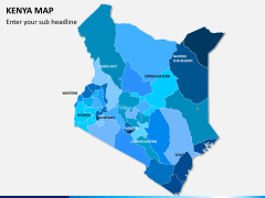
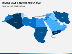
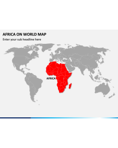
Related Presentation Templates

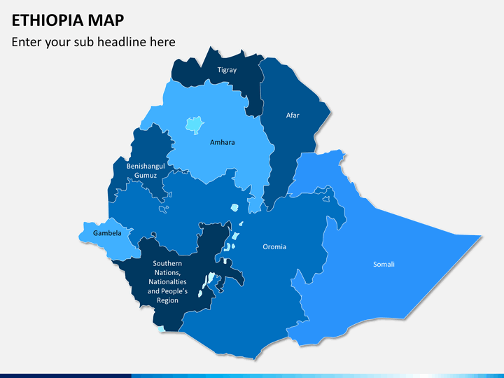
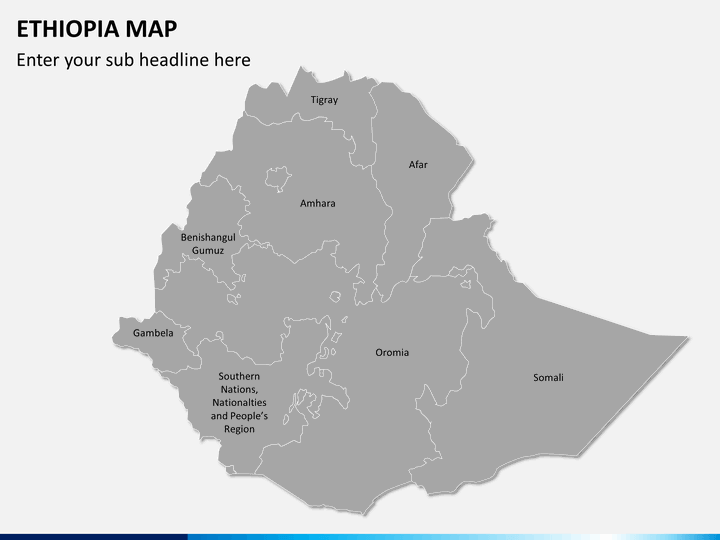
Ethiopia Map PowerPoint template beautifully portrays the geographical regions of Ethiopia - a landlocked country in East Africa. This entirely editable deck can be used by the business development managers, sales and marketing professionals, startup owners, and the senior business executives to present their business expansion plan, investment plan, sales activities, etc.
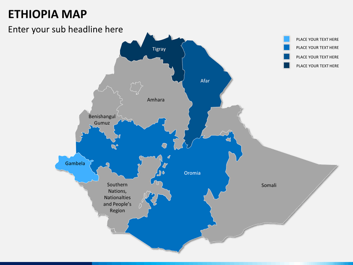
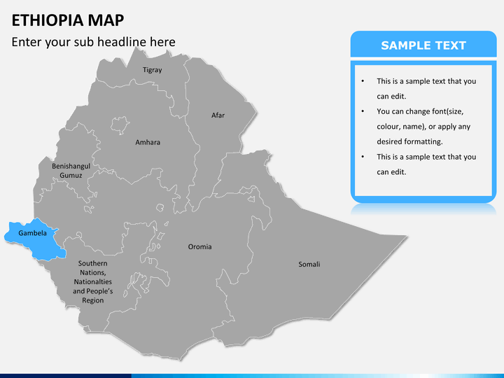
The slides contain pin markers and flags that could be used by the presenters as per their requirements. Moreover, you can easily resize and recolor the maps without technical skills. This deck will save you time and effort. So, download it right away and deliver an eye-catching slideshow!
The Amazing Attributes of the Map Slides
To make this PPT feature-rich, our experienced designers have crafted it with the utmost sincerity and creativity.
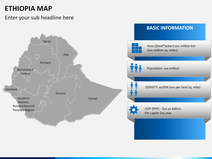
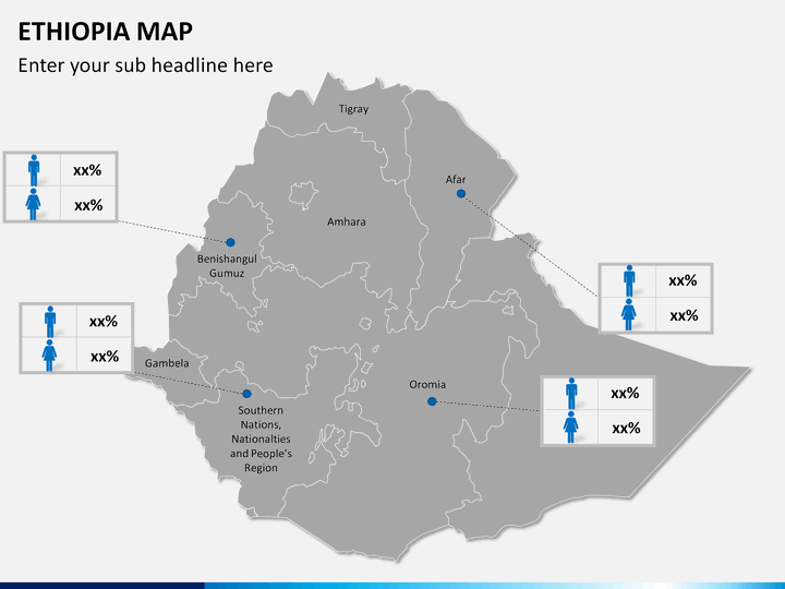
- Every city, as well as, the state has been marked appropriately with clarity.
- The users can easily find and depict a particular region, as boundaries are marked very precisely.
- Our skilled designers have used attractive color combinations to mark cities, states, landforms, and terrains.
- Both administrative, as well as geographical aspects, are correctly outlined.
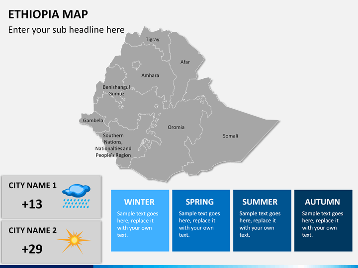
- You will get magnified images of some of the significant cities of the country.
- You can depict crucial business data leveraging the slide with bar charts in various areas.
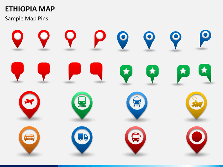
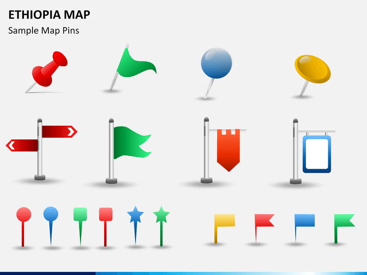
- Icons of map pins, flags, and GPS trackers can be used to highlight any specific region.
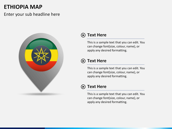
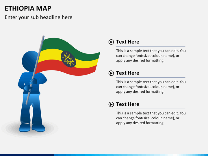
- The slide depicting a man with the flag of Ethiopia can be used to display your business presence in the country.
- The distance between different cities and the shortest and longest ways to reach them through different transportation modes can be depicted easily using these maps.
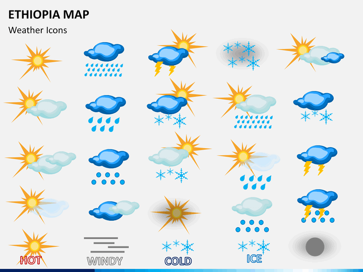
- Weather icons can be used to illustrate the weather and climatic conditions of varied areas.
- You can add your content in the desired style, size, and color in the text placeholders.
One Template – Multiple Usages
- Businesspersons can use this set to highlight:
- Revenue from different geographical locations
- Company’s presence in multiple regions
- Locations of the target audience, suppliers, investors, and other stakeholders
- The regions where your marketing campaigns are running, etc.
- Educationalists can use these slides to depict:
- State/city wise population
- Literacy rate in different regions
- City/state’s contribution to GDP
- Cultural and historical background
- Travelers can use it to showcase their tour plans and highlight major attractions of the specific city.
The Ethiopia Map PPT is available for all major presentation platforms - Microsoft PowerPoint, Apple Keynote, or Google Slides, with a separate file for each. So, download it now!