

Free - Brussels Map for PowerPoint and Google Slides
Free - Brussels Map for PowerPoint and Google Slides
(7 Editable Slides)


Related Presentation Templates
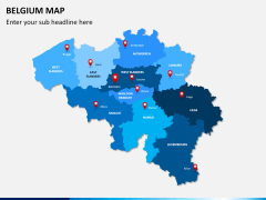

Our all-new Brussels Map template for PowerPoint and Google Slides is the perfect pick to deliver an exquisite presentation on the most densely populated region in Belgium. The graphic-rich deck comes in handy for presenting the demography, history, culture, and other details of Brussels. Business owners can use this set to exhibit their office locations in the city. Using these impressive graphics, meteorologists can showcase the weather and climatic conditions of the city.
Our experienced designers have crafted the map illustrations keeping all minute details in mind to help presenters make things interesting and grab the audience’s attention throughout the slideshow. So, download it now!
Key Attributes of Slides
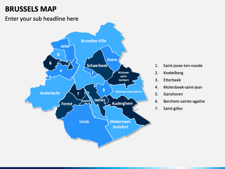
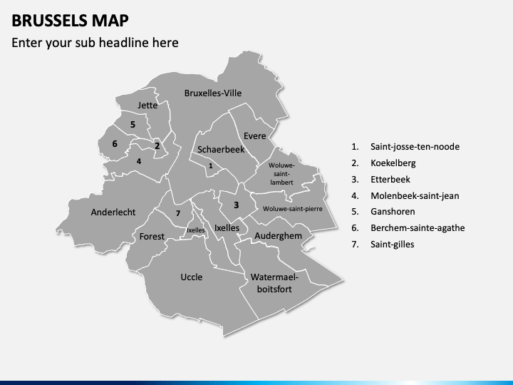
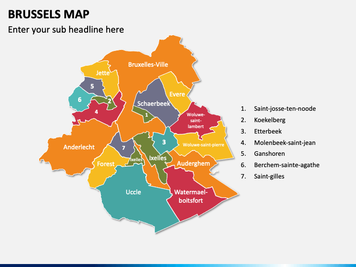
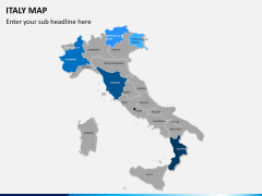
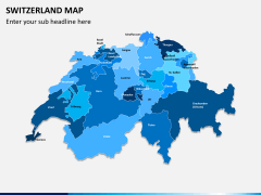
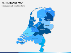
- Using geographical maps of Brussels, you can showcase the city’s major geographical regions.
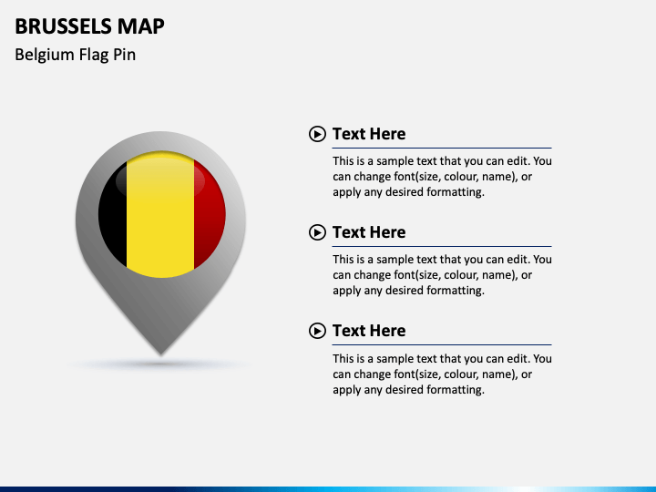
- The infographic of the Belgium flag pin can be used to exhibit lesser-known facts about Belgium.
- The visual of a slide man with the Belgium flag can be used to illustrate the city’s total land area, population, GDP, etc.
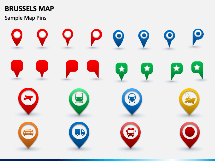
- The slide with the icons of maps and GPS pins with different transportation mediums depicts the transportation facilities available in the city.
Impressive Features
- The deck elements can be easily scaled up or down without hampering the optical resolution.
- All graphics offer an uninterrupted resolution on all screen dimensions.
- Each set attribute is designed after extensive research, leaving no space for copyright issues.
So, get this feature-rich PPT now!