

Free - Zambia Map for PowerPoint and Google Slides
Free - Zambia Map for PowerPoint and Google Slides
(8 Editable Slides)

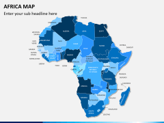
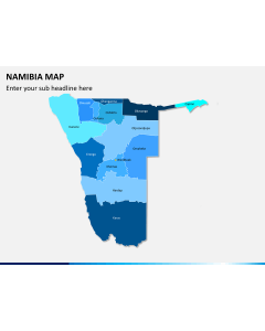
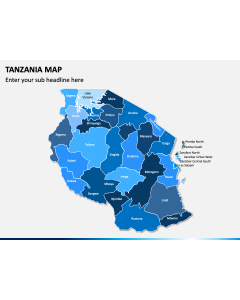
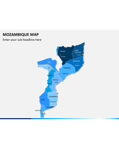
Related Presentation Templates
Download our Zambia Map template for PowerPoint and Google Slides to showcase the key facts, the capital city, border-sharing countries, and more about this landlocked and resource-rich country in south-central Africa. Market and business analysts can leverage this entirely editable deck to provide information on the specific challenges, legal compliances, and business opportunities in Zambia. Educators can also use stunning map diagrams in their presentations to represent the political conditions, history and culture, GDP, and other aspects of this country.
The set features a bright color palette, appealing background themes, and much more that aids in facilitating the understanding of information. So, get it now!
Let’s Look at Striking Visuals
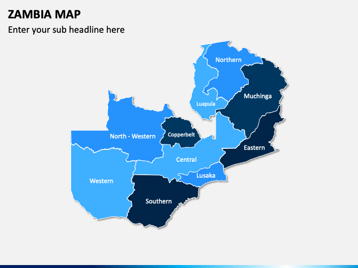
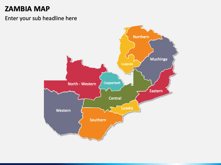
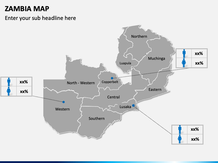
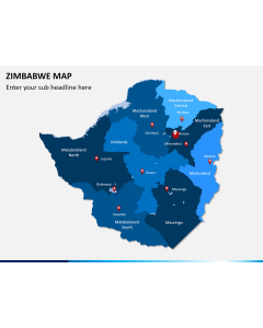
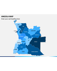
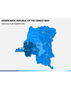
- The eye-pleasing geographical maps present the country's capital city and other major regions.
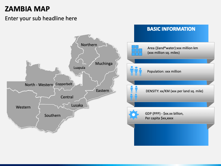
- Using a map illustration, you can exhibit basic information about the country, such as land area, population, density, GDP, etc.
- You can portray gender ratio, literacy rate, and much more in different parts of the country.
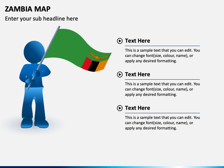
- An illustration of a slide man holding the map of Zambia can be used to showcase information about the country’s history, culture, natural diversity, etc.
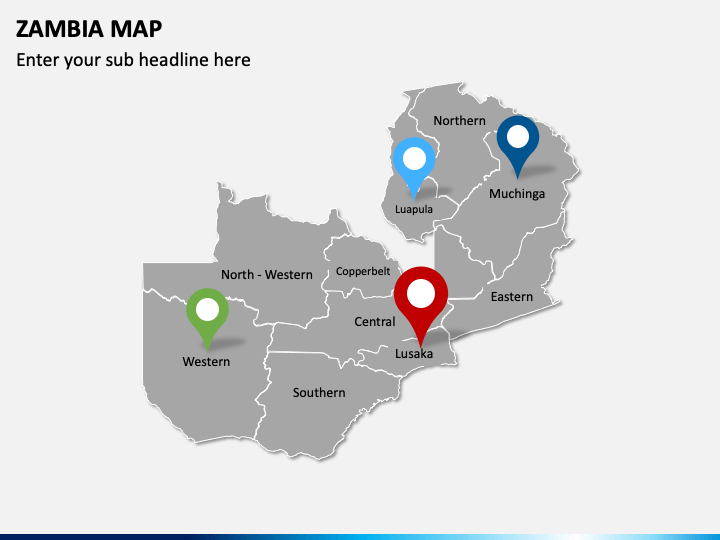
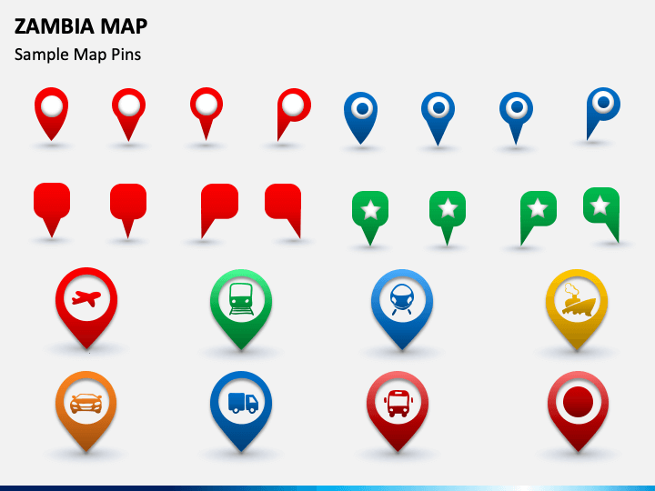
- One of the slides comprises map and GPS pins with symbols of different transportation mediums that can be used to portray the transportation facilities available in the country.
Salient Features
- No user needs specialized skills or prior editing knowledge to modify the deck elements.
- All visuals offer the same resolution on all screen dimensions.
- Everything is crafted after thorough research, leaving no room for copyright issues.
Download this PPT right away to deliver compelling and informative presentations in no time!