

Angola Map for PowerPoint and Google Slides
Angola Map for PowerPoint and Google Slides
(7 Editable Slides)
(7 Editable Slides)
Related Presentation Templates
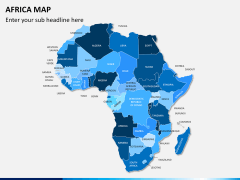
Are you a geography teacher and want to present the map of the Republic of Angola in an informative and exciting way? Then you are at the right place. Our all-new Angola Map PPT template featuring quality map illustrations is the perfect visual aid to showcase the country's geographical conditions. Business professionals can leverage the deck to illustrate their business presence and sales territories.
Customer behavior experts and marketers can illustrate the strategies to enhance customer base, sales, revenues, and profitability in different locations of the country. Meteorologists can use map infographics to accentuate the text concerning the climatic conditions and the average temperature of various regions of the country.
PowerPoint Slides with High-quality Illustrations
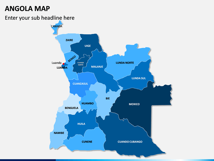
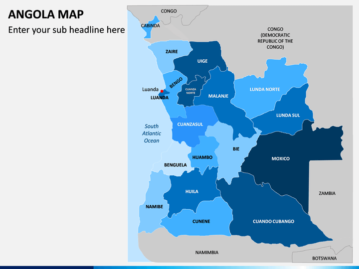
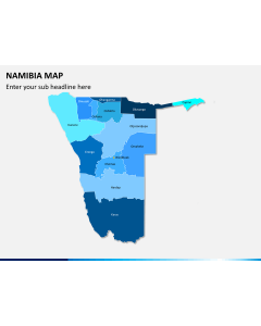
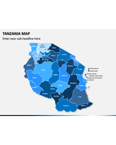
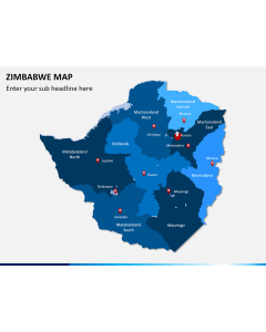
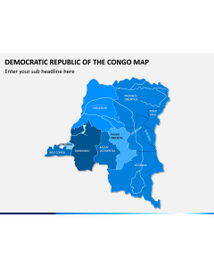
- Using the physical map of Angola, you can depict the country’s cities, towns, districts, and other regions.
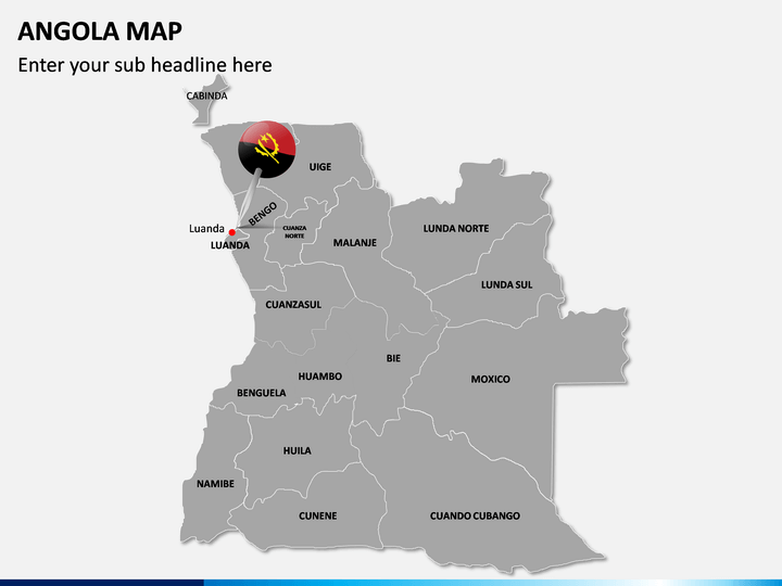
- You can point out the country's capital city via a well-designed map illustration.
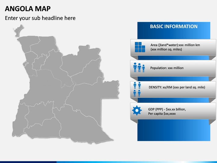
- A blank map with a few textual boxes can be used to describe the details of the country like its population, GDP, literacy rate, and more.
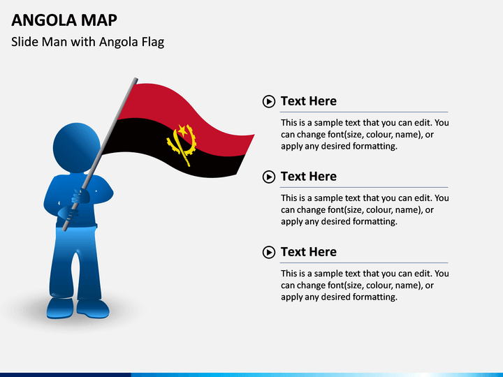
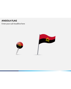
- A silhouette of a man carrying the flag of Angola can be used to portray the country’s historical, cultural, and natural diversity.
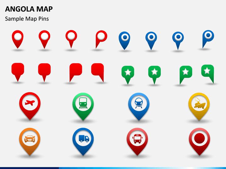
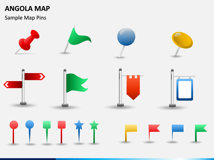
- Using the icons of map pins and GPS pins with illustrations of trains, cars, ships, airplanes, etc., you can exhibit the transportation facilities available in the country.
Quality Features
- The users won’t require prior editing experience or external aid to modify the deck elements according to their preferences.
- The vector-based map graphics can be projected to any screen size without hampering the optical resolution.
- Download the set once to gain lifetime ownership and complete control.
Download this PPT and add creativity to your presentations!