

South Africa Map for PowerPoint and Google Slides
South Africa Map for PowerPoint and Google Slides
(5 Editable Slides)
Related Presentation Templates
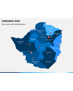
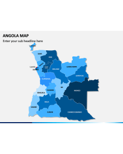
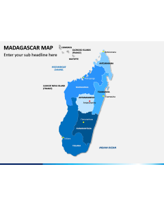
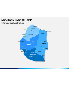
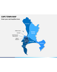
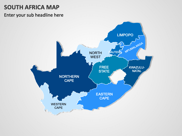
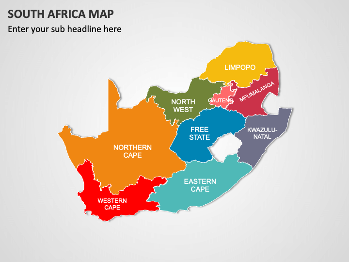
Grab our South Africa Map template for PowerPoint and Google Slides to add a creative flair to your presentations and enhance audience engagement. Business professionals can use this graphic-rich set to showcase their company’s presence in different parts of South Africa. Educators can leverage high-quality graphics to educate students about the country’s geographical features, population distribution, ethnic diversity, etc. Economists can illustrate economic indicators, such as GDP distribution, major industries in different regions, and economic growth rate. Tour operators can depict popular tourist destinations, attractions, and more. Additionally, you can use this deck to display healthcare facilities, significant infrastructure projects, and educational infrastructure in different provinces.
The slides feature
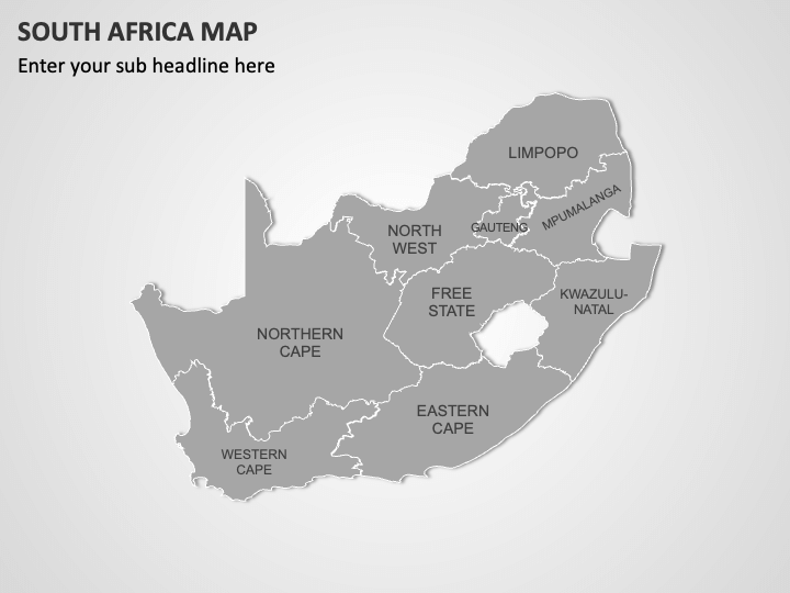
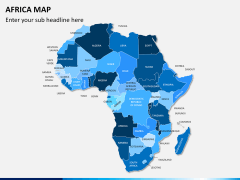
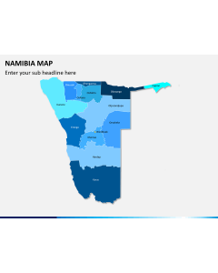
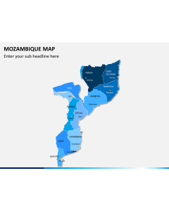
- Black and white and colorful geographical map diagrams
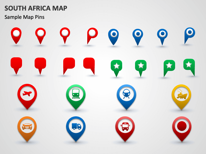
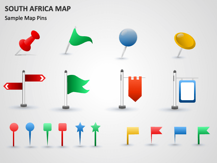
- GPS and map pin icons with symbols of airplanes, trains, cars, trucks, etc.
- Weather icons, including clouds with rain droplets, the Sun, and more.
Using them to illustrate the country’s significant regions, diverse transportation options, and climate and weather patterns.
Features
- Easy customization
- Assured high-resolution graphics
- Copyright-free
- 24/7 customer support
Download this PPT now!