

Zimbabwe Map for PowerPoint and Google Slides
Zimbabwe Map for PowerPoint and Google Slides
(16 Editable Slides)


(16 Editable Slides)
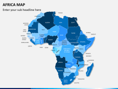
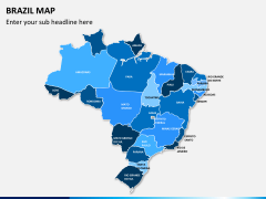
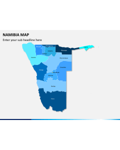
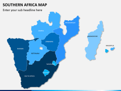
Related Presentation Templates
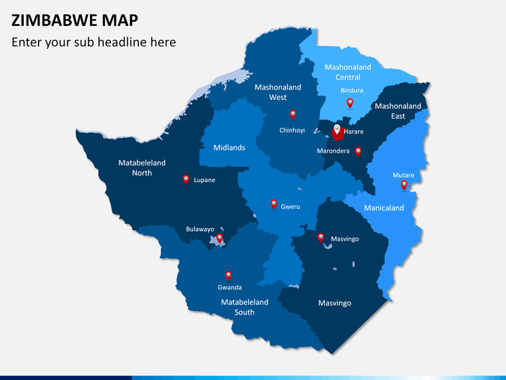
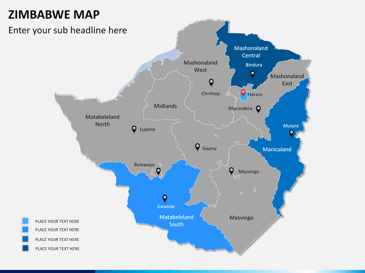
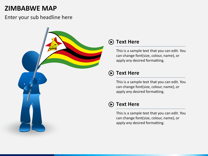
Located in Southern Africa, the Republic of Zimbabwe is a landlocked nation that declared its independence in 1965. With over 13 million citizens, it has a nominal GDP of around $15 billion. The country is known for being an epicenter of the African revolution and hosting of diverse flora and fauna. With Harare as its capital city, it is gradually uprising towards an economic reform. It has also deactivated its own denomination and presently uses USD as its official currency. One of the most significant Southern African nations, it comprises of various provinces that can be depicted with the help of this readily available map.
Download this professionally designed Zimbabwe Map PowerPoint template and present your well-researched information without much trouble. It doesn't matter what industry you belong to - if your business is linked to the African nation, then this set would be of a great help to you. One can use these high-quality maps to depict any information related to the country. From presenting pitches to simply using these maps for educational purposes, the set has a wide range of applications. It is a diverse collection of different kinds of maps that would be of a great help to you. Simply use the map of your choice and represent your data in a visually appealing way.
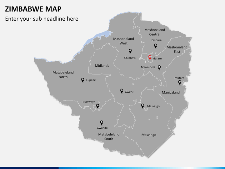
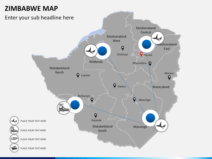
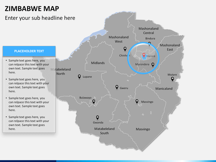
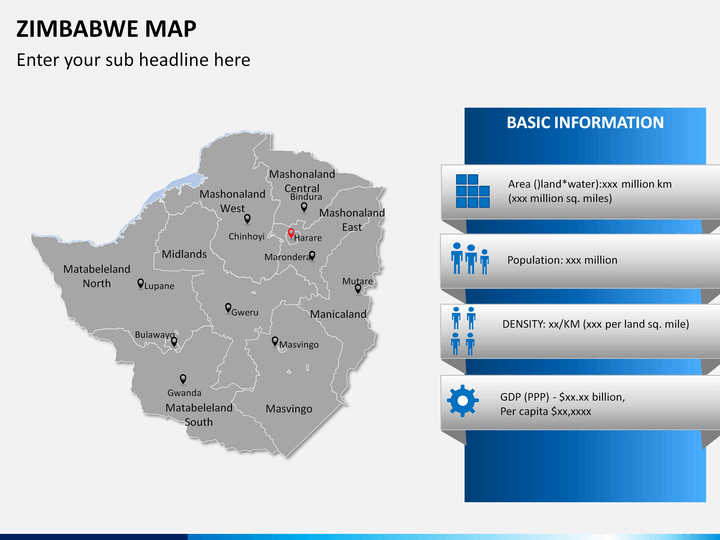
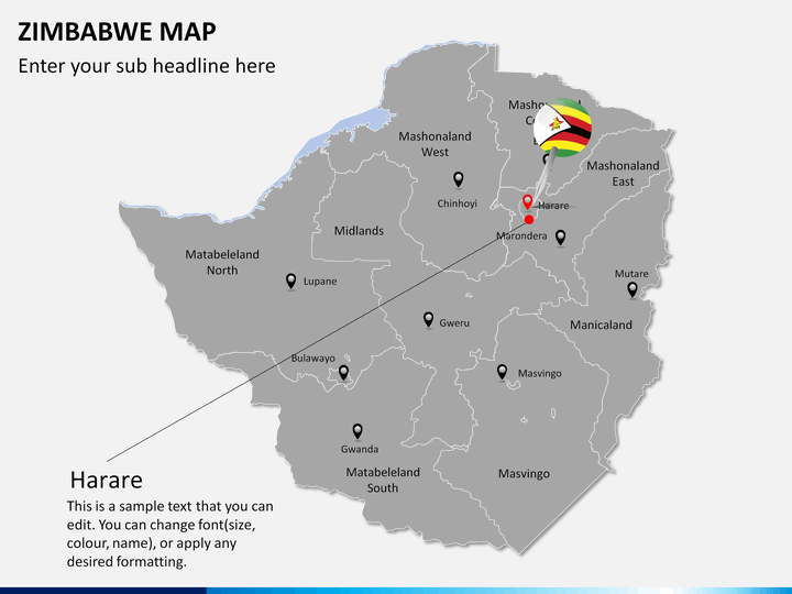
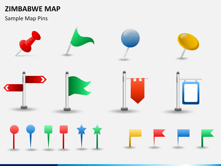
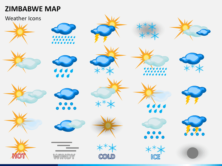
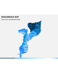
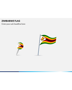
From presenting demographic information to the representation of the weather, the set will let you do it all without investing your precious time. There are already different kinds of Zimbabwe maps included in the set that can be used time and time again. It already has different kinds of physical and political maps, representing all the major cities and provinces of the nation. Furthermore, there are dedicated maps to depict the connectivity between various regions and the presence of crucial locations. You can also focus on a province of your choice and can zoom it to get a detailed shot. The set also has dedicated slides for pins, icons, and flags that can be used distinctively as well.
Simply use this well-researched and aesthetically appealing set while providing an in-depth information regarding Zimbabwe. Alter these slides as per your needs and add your data to personalize it on the go. The template will certainly help you draft a winning presentation without utilizing your time and efforts. Use it the way you like and be prepared to win over your audience.