

Cambodia Map for PowerPoint and Google Slides
Cambodia Map for PowerPoint and Google Slides
(18 Editable Slides)


(18 Editable Slides)
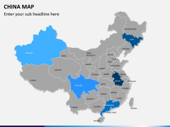
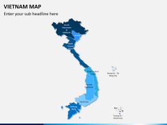
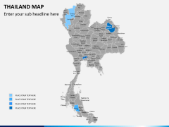
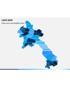
Related Presentation Templates
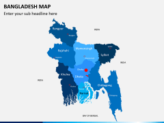
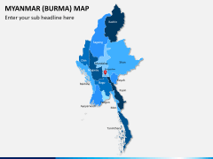
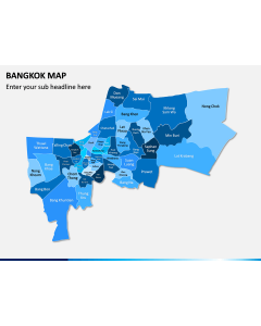
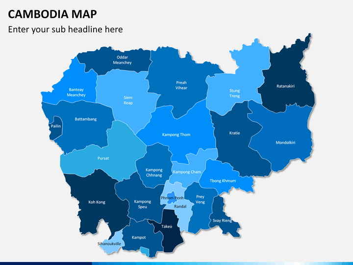
Cambodia Map PowerPoint template is a collection of beautiful maps that can be used to visually present the geographical aspects and other information of this Southeast Asian country. The set is pre-designed and 100% editable, perfect for all kinds of presentations related to business, marketing, education, etc.
Start-up owners and business development managers can use these user-friendly maps to highlight the cities with their offices and the areas where they want to expand their business. Marketing and sales managers can illustrate information related to their marketing campaigns, revenue generation, customer base, partnerships, etc. in different regions. Educators can use this set to educate students about the population, GDP, vegetation, literacy, and other aspects of this country. Travelers can use the maps to highlight the important tourist attractions they have visited and share their further travel plans.
What’s Inside the Template?
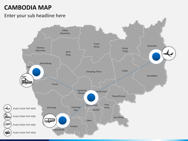
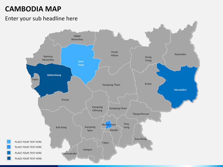
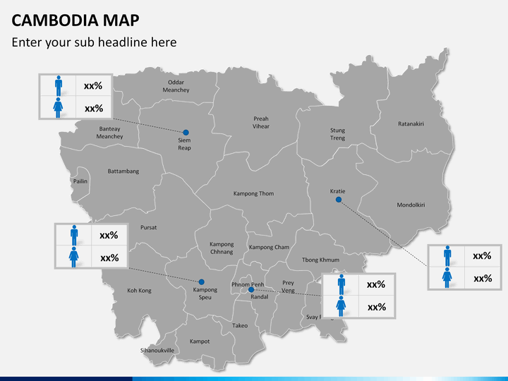
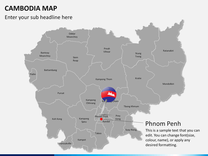
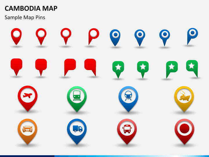
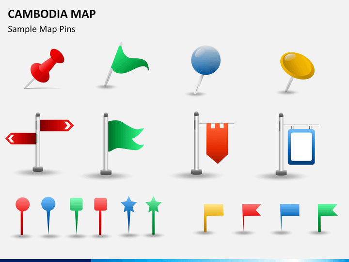
- GPS markers and map pins: These icons can be used to highlight any specific city or region on the map to grab the audience's attention.
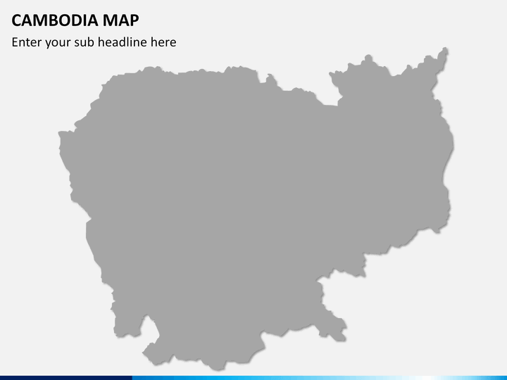
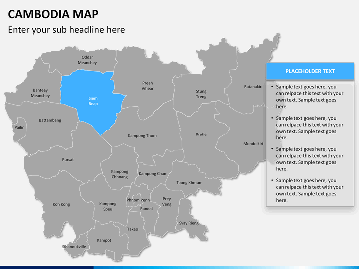
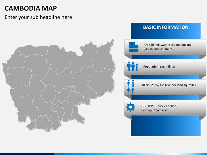
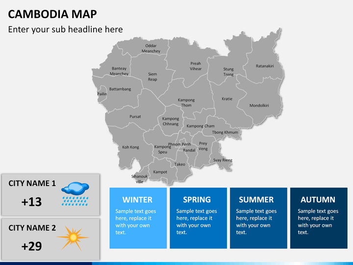
- Empty map: You can depict demographic, geographic, and other aspects related to the area.
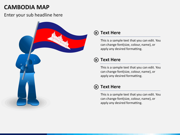
- A man with a flag of Cambodia: This slide will help you showcase your business presence.
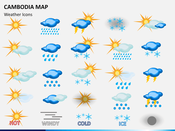
- Weather icons: Meteorologists can also use these icons to depict the climatic condition (hot, cold, windy, rain, etc.) of a particular region.
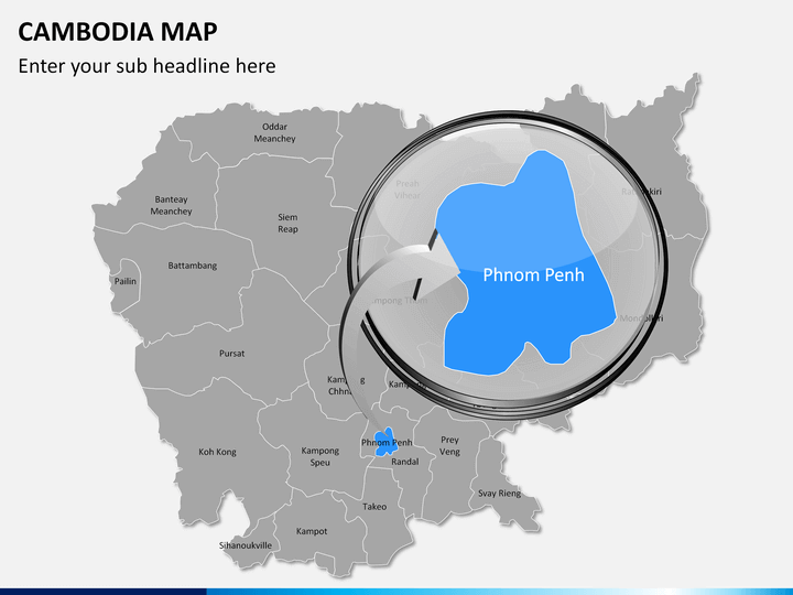
- There are also zoomed images of the cities.
- Routes are also marked appropriately to communicate the direction or transportation medium.
Various Features of the Maps
Our skilled designers have provided various map designs in the set. Every minute component is created from scratch to avoid copyright issues. There are text placeholders where you can add your own content.
- High-definition vectors and infographics have been well incorporated.
- You can increase or decrease the size and change the color of the maps, without worrying about resolution.
- You can easily copy any map and paste it in your presentations.
- Once downloaded, you can re-use it multiple times throughout life.
- It is compatible with multiple platforms like MS PowerPoint, Apple Keynote, and Google Slides.
Download our professionally-designed Cambodia Map PPT right away to make your presentations more meaningful!