

Chile Map for PowerPoint and Google Slides
Chile Map for PowerPoint and Google Slides
(26 Editable Slides)


(26 Editable Slides)
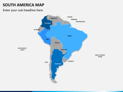
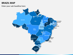
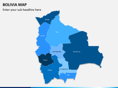
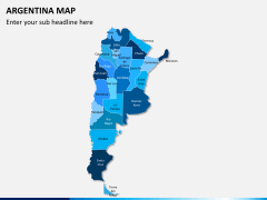
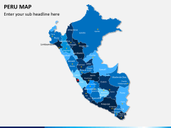
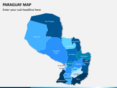
Related Presentation Templates

Chile is often known as one of the most prosperous nations in South America. Now, you can easily discuss all kinds of things related to this country with this readily available PowerPoint template. Covering maps of different styles, the set offers the perfect visual aids that can elevate the overall aesthetic appeal of your slideshows in a seamless manner.
About
The Republic of Chile is a highly diverse nation in South America, which is bordered by countries like Peru, Bolivia, and Argentina. From a long stretch of the Pacific Ocean to the Andes Range and volcanoes to the Atacama Desert, it features a highly diverse geography. While Chile got its independence from the Spanish Rule in 1818, it suffered a dictatorship and a new constitution was passed in 1980.
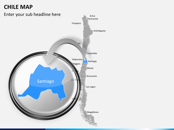
Today, Chile is known for its high human development index and low crime rates. It is the founding member of the United Nations and is known as one of the least corrupt countries in the world. It is also known for its high economic and human rights. This country is the home of more than 17 million people with Santiago as its capital as well as the largest city.
Why should you download this template?
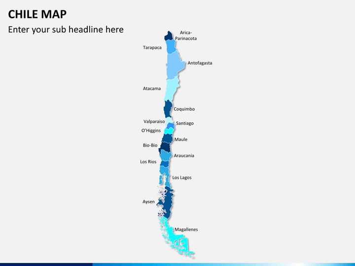
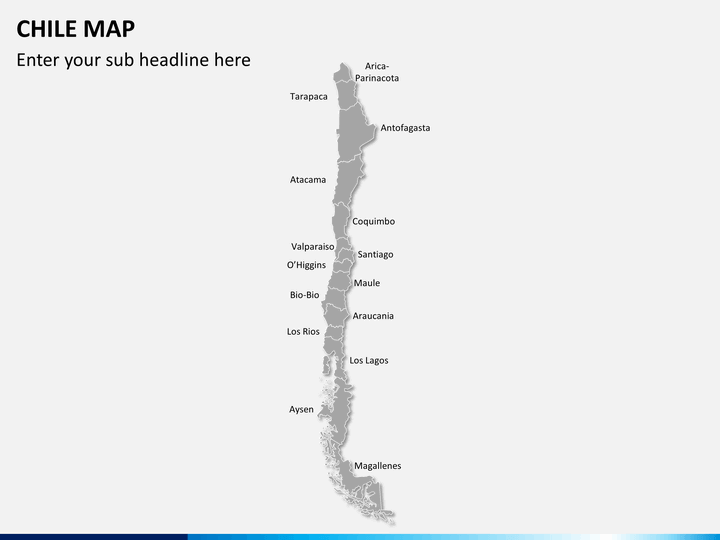
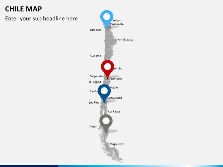
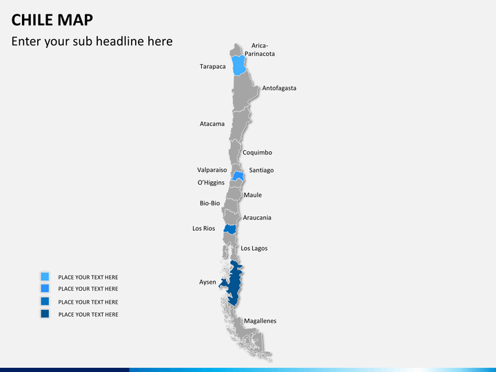
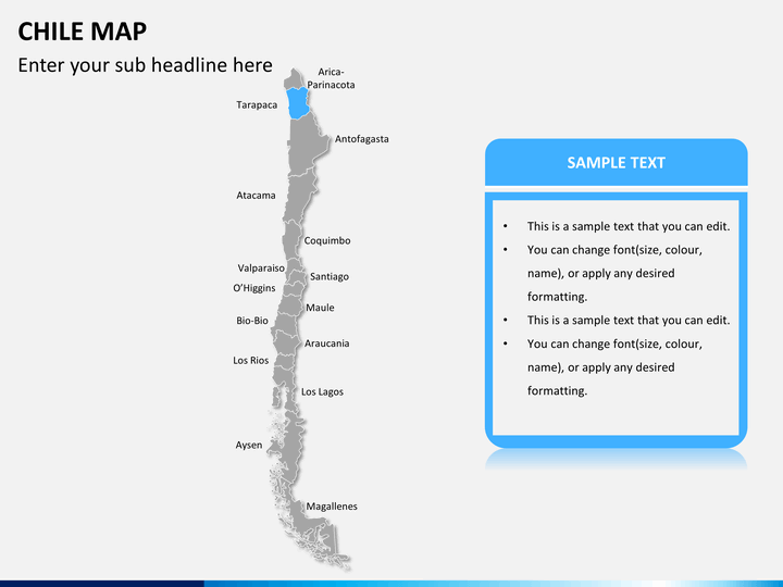
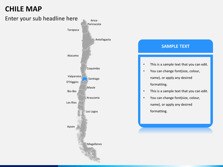
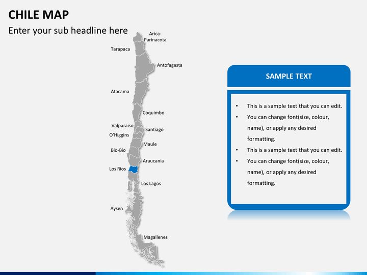
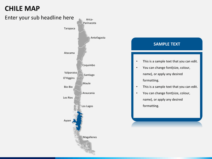
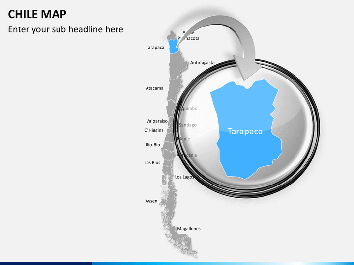
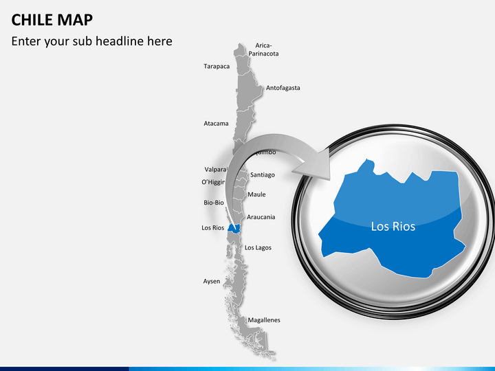
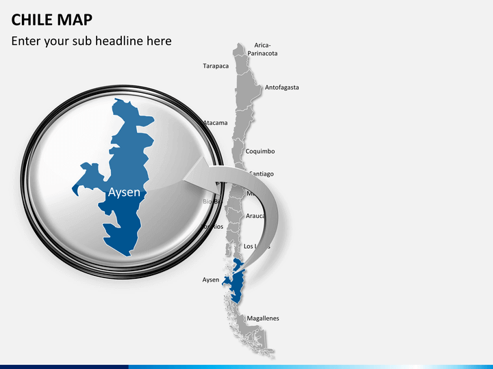
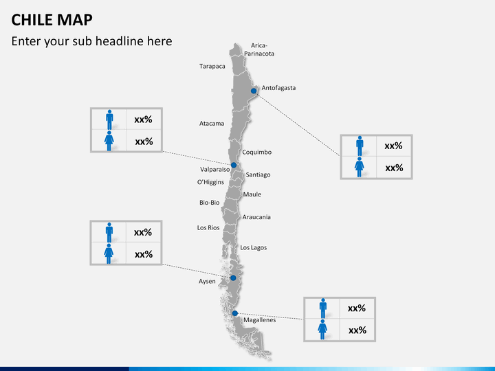
With these high-definition maps, you can easily educate your audience about the geography of this country. All the 15 regions of the country have been clearly depicted in these maps. If you want to focus on any region, then you can simply zoom it.
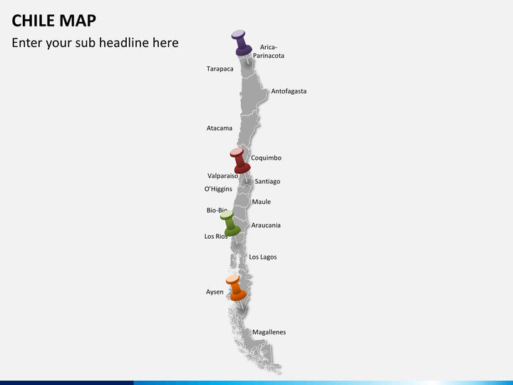
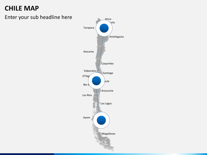
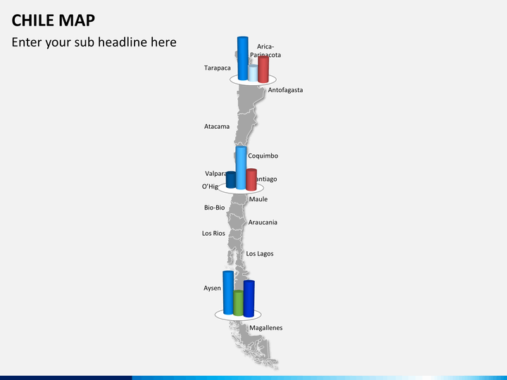
Using these maps, you can depict all the major cities, its economic zones, the prominent areas for its biodiversity, how the demographics have been distributed, the connection between various regions, and so much more.
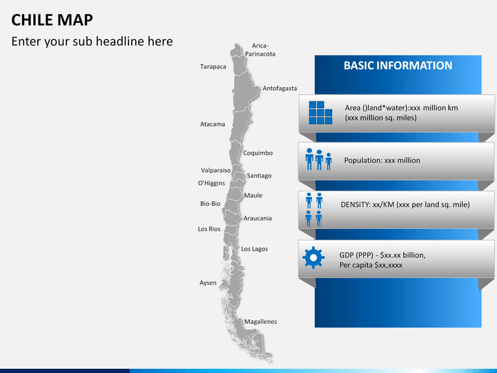
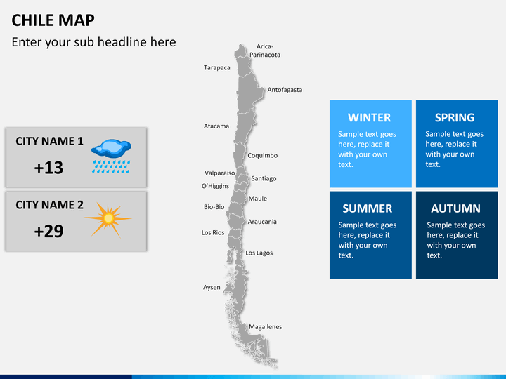
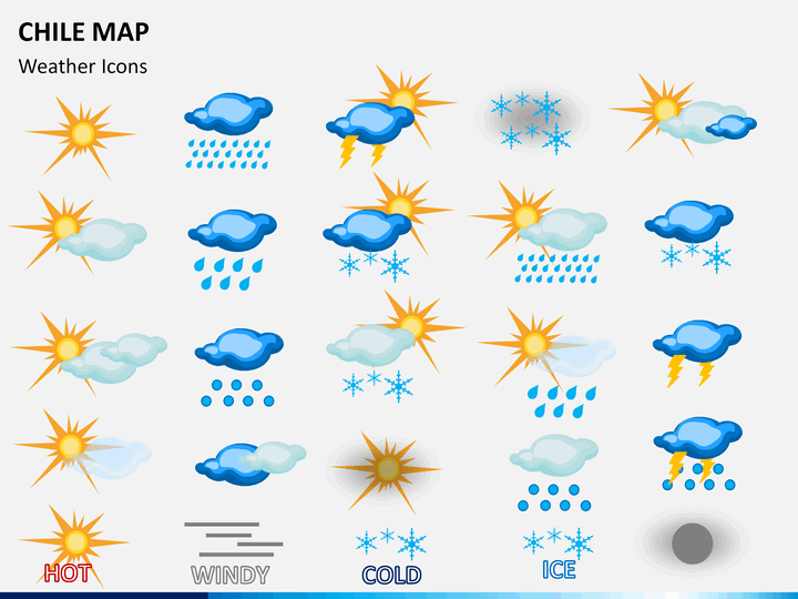
There are also dedicated maps that can help you provide information related to its climate and other geographic traits. These maps can be used by both, educators as well as professionals related to this country.
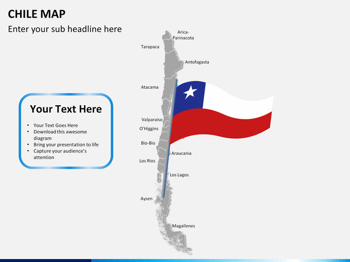
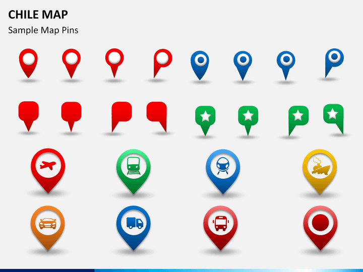
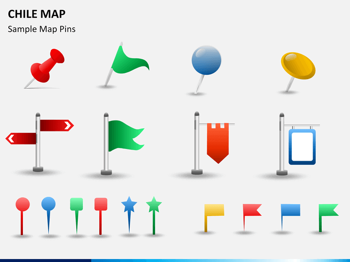
You can easily customize these maps with a single click. Since all these maps are vector-based, you can edit them without any trouble. We have also included all kinds of flags and interesting icons that you can further use while drafting an interesting presentation.
All these maps can be used to draft presentations on PowerPoint, Keynote, and Google Slides. It also comes with a dedicated customer support so that you can make the most of this set in no time.