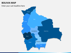
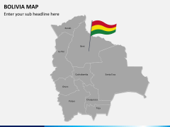
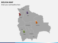
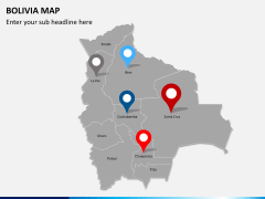
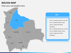
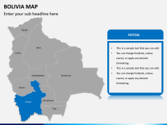
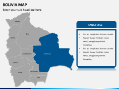
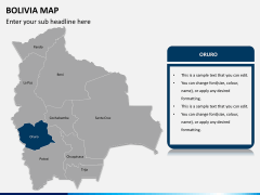
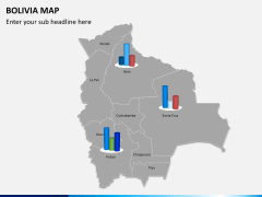
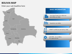
Maps have a special role to play in everyday business presentations. When it is not enough for a piece of information to be just told and visuals are not enough to explain your point, maps rescue you the best. They are apt for giving mental clarity well draped in visuals pleasing-to-eyes. This set of pre-designed PowerPoint Bolivia Map Template is to assist you in your creative genius.
From regular business meetings to research symposiums and human resource training sessions to academic workshops, the maps prove ideal for every situation. Regardless of your theme or industry type, you can use it to project your point if it has anything to say about Bolivia.
About
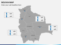
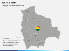
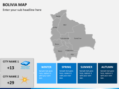
Bolivia, officially called as Plurinational State of Bolivia is a country in the American continent located at the western-central part of South America. It is a landlocked country and its borders are shared by Brazil on the north and east, Paraguay and Argentina on the south, Peru on the west, and Chile on the southwest. It is a democratic republic and is a developing nation. It has medium Human Development Index with 53% of poverty level. It essentially has a multiethnic population with Amerindians, Asians, Africans, Europeans and Mestizos. It is the 28th largest country of the world while in South America it occupies the fifth largest place. It has amazing biodiversity and boasts to have thousands of special species of flora and fauna.


