

Ecuador Map for PowerPoint and Google Slides
Ecuador Map for PowerPoint and Google Slides
(16 Editable Slides)


(16 Editable Slides)
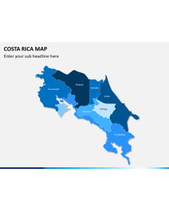
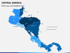
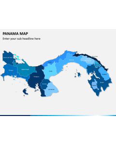
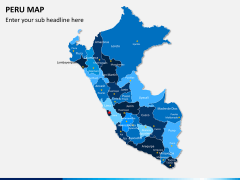
Related Presentation Templates
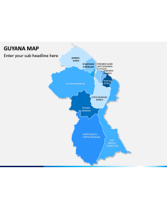
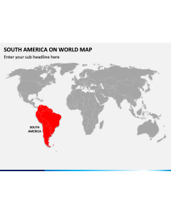
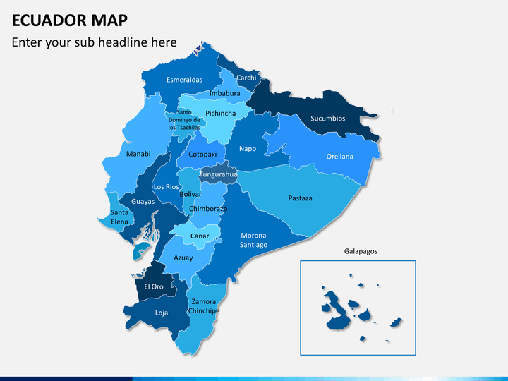
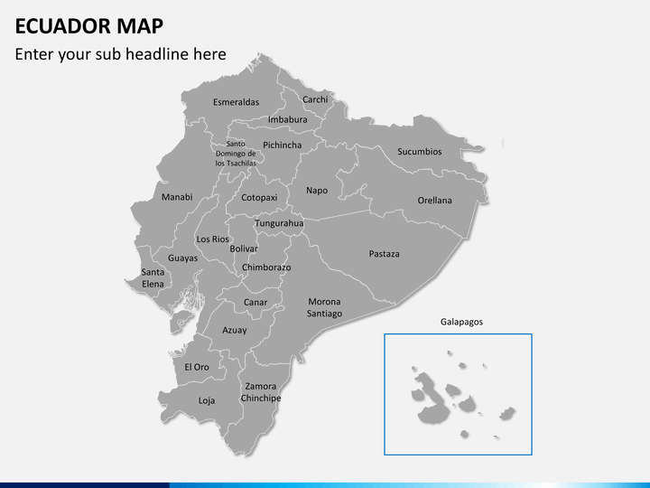
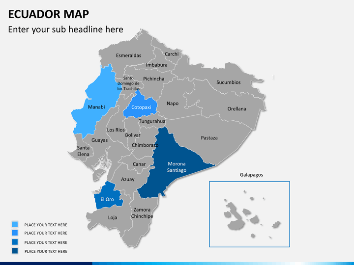
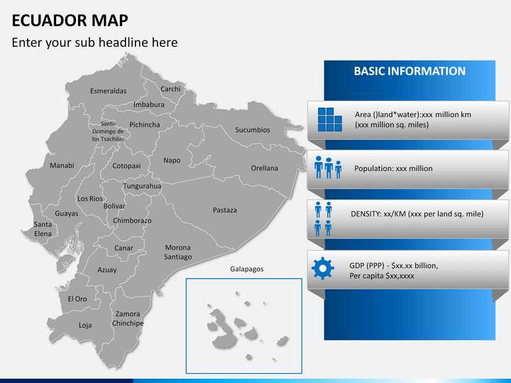
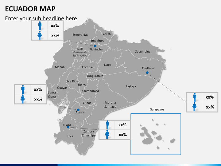
Our professionally-designed Ecuador Map PowerPoint template is a well-curated collection of maps of this South American country. Using these user-friendly maps, startup owners and business development managers can highlight the cities where they have offices and the areas where they want to expand their business. Marketing and sales managers can illustrate marketing campaigns, revenue generation, customer base, partnerships, etc. in different regions. Educators can use these entirely editable maps to demonstrate detailed information about population, GDP, vegetation, literacy, etc. of the country. Travelers can use it to represent the main attractions they have visited or are planning to visit.
Attributes of the Template
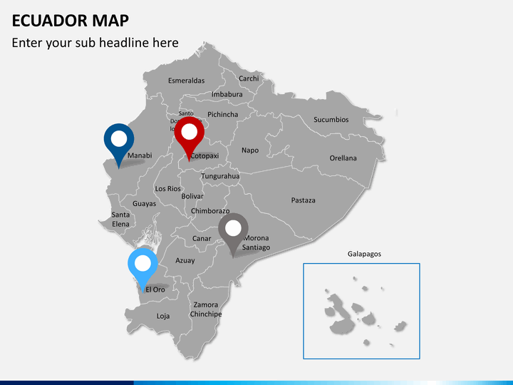
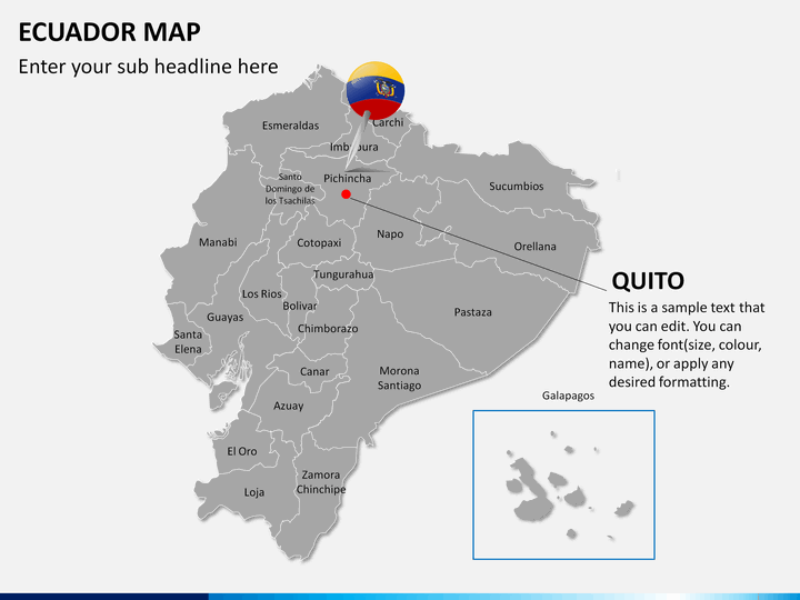
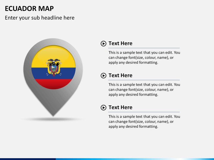
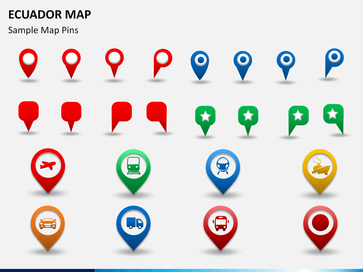
- Icons of the GPS trackers and map pins: These icons can be used to highlight any specific city or region on the map, to capture the attention of the viewers.
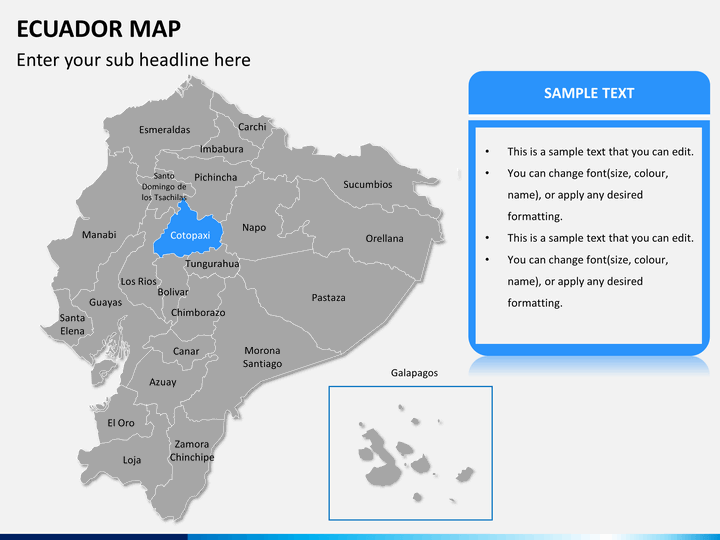
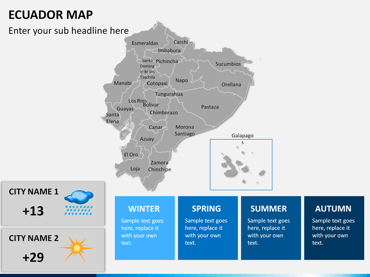
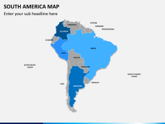
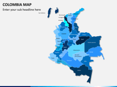
- Blank map: You can use it to highlight any particular business information.
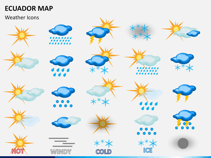
- Weather icons, which beautifully depict hot, wind, cold, ice, rain, and thunder, can be used by meteorologists to explain climatic conditions of different areas.
- The routes are clearly marked in one of the slides, which can be used to explain how to reach different places and through which means of transport.
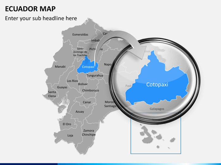
- Some of the slides display zoomed images of the major cities.
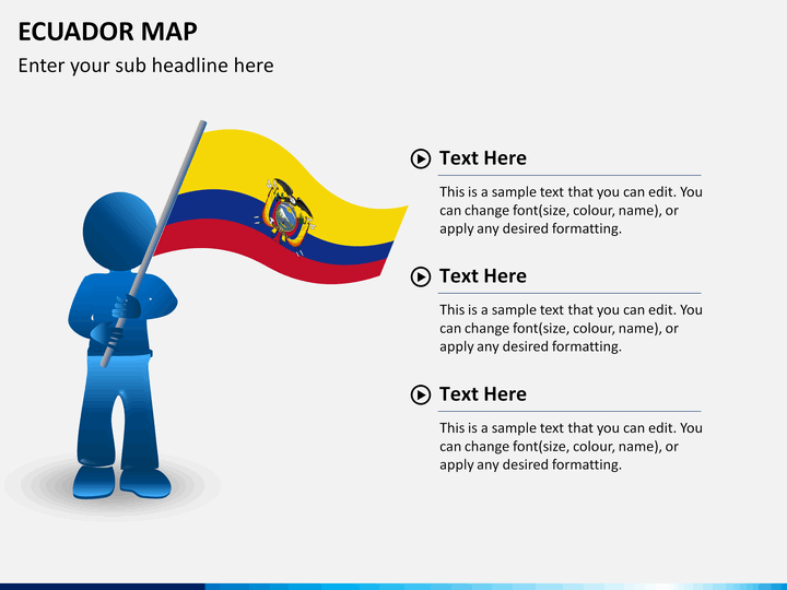
- One slide shows a man holding a national flag.
Impeccable Features to Amaze Your Audience
- The high-quality and high-definition maps are included in the set.
- The set is compatible with all major presentation platforms - MS PowerPoint, Apple Keynote, and Google Slides.
- You can easily resize or change the color of any map as per your requirement.
- You do not need any prior design experience or technical skills to edit it.
- Maps on any slide can be easily copied and pasted in your existing presentation.
- All the visual components are designed from scratch, so no matter how much you change them, the resolution remains the same.
Download our professionally built Ecuador Map PPT now and put your message across with sheer excellence!