Guyana Map for PowerPoint and Google Slides
(8 Editable Slides)
Guyana Map for PowerPoint and Google Slides
SB2743
Available For
Similar Products
We have brought you the specially designed Guyana Map PPT template to help you illustrate Guyana's geographical, economic, and other details. Business professionals can leverage this feature-rich deck to showcase their market share and customer base in different parts of the country. Business development managers and consultants can also leverage this graphic-rich set to display the business expansion plans in Guyana. Professionals from the tourism industry can highlight the must-visit tourist places and provide information on different travel routes. Educators can illustrate the ethnic and cultural diversity of the country.
Compelling Map Slides
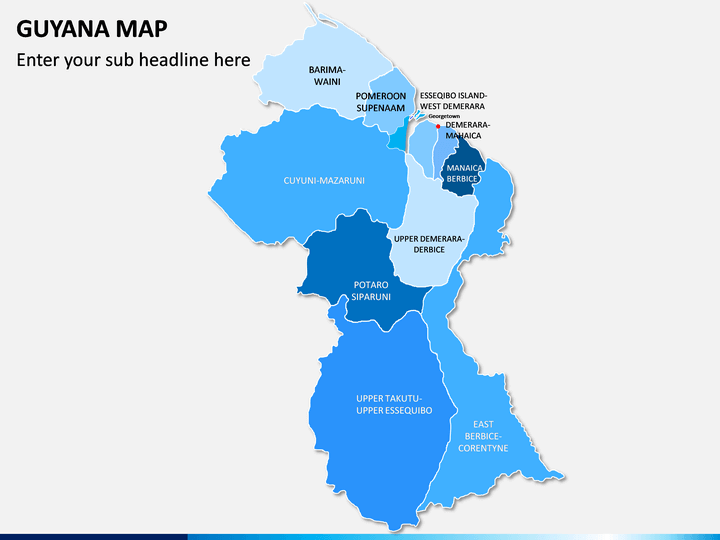
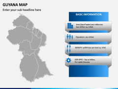
- A well-designed map illustration exhibits all states, cities, and other regions of Guyana.
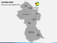
- The Guyana map infographic and a map pin with the Guyana flag can be used to showcase the country's capital city.
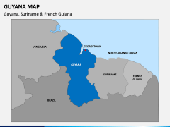
- You can portray the border-sharing countries, states, and cities of Guyana using another eye-pleasing map graphic.
- The basic information like population, literacy rate, GDP, sex ratio, etc., of the country can be demonstrated through a stunning map.
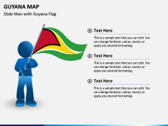
- An appealing illustration of a slide man holding the Guyana map can be used to display other details of the country, such as weather and climatic conditions, the average temperature of different regions, etc.
- Using the icons of map pins and GPS pins with the graphics of cars, ships, trains, etc., you can highlight all possible transportation mediums available in the country.
Features
- Easy-to-edit
- Fully customizable
- No space for copyright issues
- High-definition and vector-based visuals
- Round-the-clock customer support services
Make these PowerPoint slides yours now!
Write Your Own Review

