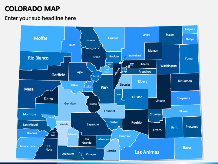
Marketing experts, brand managers, and senior executives can use our professionally designed Colorado Map PPT template to highlight their business expansion plan in the Colorado state of the USA, throwing light on the state’s market environment, competition, etc. Startup owners and sales professionals can leverage the eye-pleasing set to accentuate the textual information regarding the unique set of strategies for increasing customer base and sales in this American state. Moreover, educators can use high-resolution map illustrations to help their audience make a clear and better understanding of the state’s population, literacy rate, sex ratio, individual disposable income, etc.
A Sneak Peek into the PowerPoint Slides
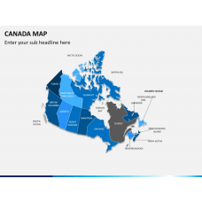
- Various colorful maps can be used to present the major cities and key attractions of one of the western states of the USA, i.e., Colorado.
- Another map illustration of the USA represents the exact location of the state in the country, highlighting which states share their borders with Colorado.
- The slides comprising a GPS pin with a USA flag and a man holding the USA flag can be used to showcase positive and negative sides of Colorado's market conditions for business, education, and other activities.
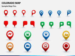
- Using the icons of GPS pins with trains, buses, airplanes, etc., you can present the state's transportation facilities, how well the state is connected with other states and cities, and much more.
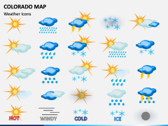
- Using weather icons, you can illustrate the climatic conditions of the state.
Spellbinding Features
- Users won’t face any challenges while changing the color and size of the maps.
- You can present the visuals to any screen size without disturbing the resolution or quality.
- No copyright issues, as each deck attribute is designed after thorough research.
Download the template right away and give a creative makeover to your presentations!

