

Ireland County Map for PowerPoint and Google Slides
Ireland County Map for PowerPoint and Google Slides
(5 Editable Slides)

Related Presentation Templates
Grab our Ireland County Map template for PowerPoint and Google Slides to display various aspects of Ireland in a visually engaging manner. Business professionals can use this deck to present market potential in different areas of Ireland, customer behavior patterns, and market segmentation based on various parameters. Market analysts can illustrate the competitive landscape, key players, market share, etc. Geographers can use this set to provide an overview of Ireland’s landscape and diverse terrain. Urban planners can represent population density across different regions of Ireland. Travel agencies can use these versatile map diagrams to showcase popular tourist destinations, historical sites, and scenic spots. Educators can present administrative boundaries and regional divisions.
Slides’ Overview
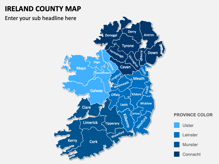
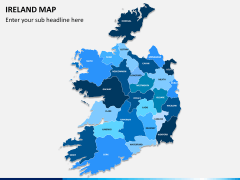
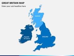
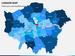
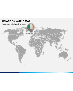
- Geographical map visuals present the counties of Ireland.
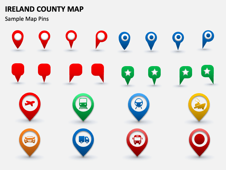
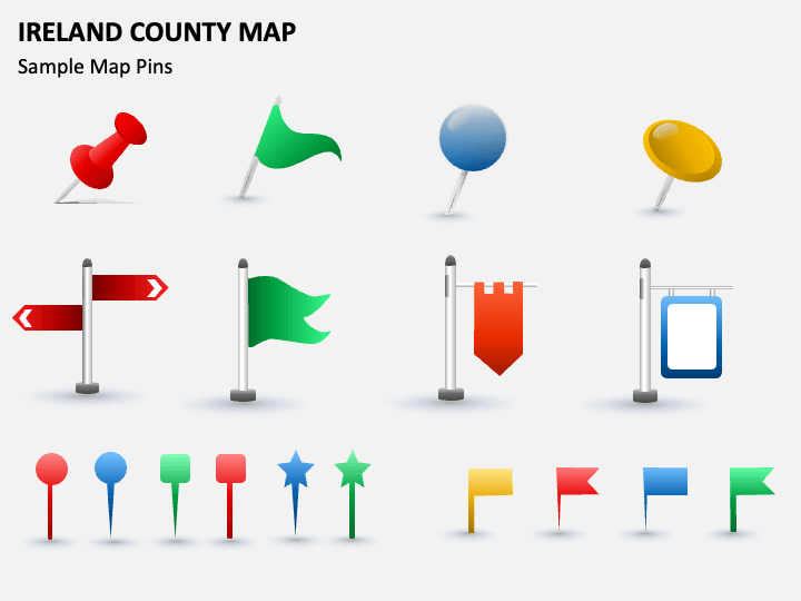
- You can leverage GPS icons and map pins adorned with symbols of airplanes, trains, trucks, cars, and more to showcase the road networks, airports, and major transportation routes in Ireland.
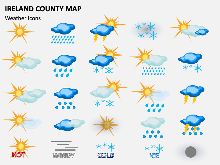
- Display Ireland’s weather and climatic patterns using visuals of clouds, the Sun, rain droplets, thunderstorms, and more.
Features
- Easy customization
- High-definition visuals
- 24/7 customer support
- Copyright-free
Download this graphic-rich PPT to deliver an impeccable presentation!