Louisiana Map for PowerPoint and Google Slides
(8 Editable Slides)
Louisiana Map for PowerPoint and Google Slides
Available For
Louisiana Map PowerPoint template is a fully editable set comprising varied designs of maps of this American state. Powered with beautiful visual elements, the deck is a perfect fit for business professionals to showcase crucial information in an engaging and understandable manner. Using these maps, you can highlight any specific area or region. Editing any part of the map is pretty much easy. So, download it right away to infuse life to your next slideshow!
Perfect for a Wide Range of Professionals
These precisely designed maps can be used by a broad array of professionals to make their presentations compelling and convincing, such as:
- Business researchers and analysts can present their findings of the business environment, growth, and challenges in Louisiana.
- Enterprises can use these maps to depict sales, revenue, branches and outlets of the company, current and potential customers, business opportunities, and much more.
- C-suite executives and regional heads can leverage the set for presenting their business goals and expansion plans in the state.
- Educators can download this deck to present the demographics of the state, statistical surveys, climatic conditions, tourism, and other information about the economy and history of the region.
Significant Highlights of the Louisiana Map PPT
Our team of designers has created these maps with the utmost creativity and perfection to help you make your slideshow captivating.
- With the help of different map pins, GPS markers, and flags, you can effortlessly make your presentations more understandable. For instance, if you want to highlight any particular region of the state, you can change its color and place a map pin to make it stand out.
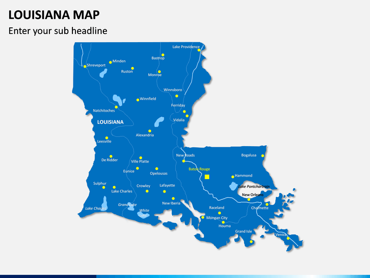
- We have also provided an empty map, which you can use to depict geographic, demographic, and other information related to the region.
- You can write the content in the text placeholders without any hassle.
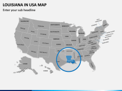
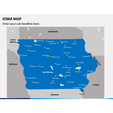
- One of the slides demonstrates the exact location of Louisiana in the United States and its neighboring states.
- One of the slides showcases a man with the USA flag, which can be used to showcase your business presence in the United States.
- The boundaries are highlighted with precision, and the major cities, towns, and landforms are accurately marked.
Easy-to-Edit Set
The best part of our editable map PPT is the ease of use. You can easily recolor or resize the map to adapt to your requirements. The deck comes with HD and vector-based graphics, offering the best compatibility with different presentation platforms, such as Microsoft PowerPoint, Google Slides, and Apple Keynote. You can use any of the map slides in your current or future presentations. Once downloaded, you can use them whenever you want, without any need to download them again.
So, when you are getting so many features in one template, why not get it now? Go ahead and download it!

