

Uruguay Map for PowerPoint and Google Slides
Uruguay Map for PowerPoint and Google Slides
(16 Editable Slides)


(16 Editable Slides)
Related Presentation Templates
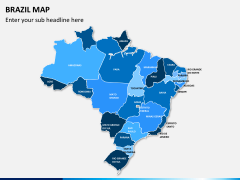
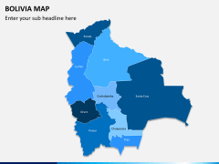
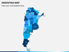
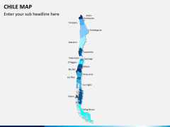
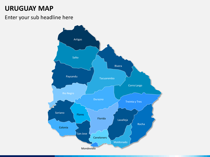
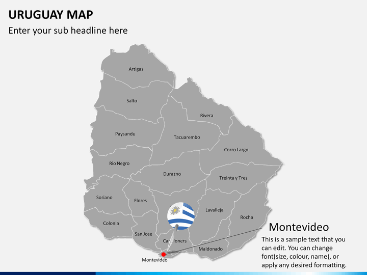
Uruguay Map PowerPoint template is a collection of beautiful maps that can be used to present the geographical aspects and other information about Uruguay - a South American country, in a visually appealing manner. The set is pre-designed and 100% editable, perfect for all kinds of presentations related to business, marketing, education, etc.
The maps are designed in different layouts to be used by many professionals, including start-up owners, business analysts, research analysts, sales and marketing managers, trainers, and more. Complex information can be explained in a simplified way by including these maps in your presentations. So, download the set immediately!
Useful Attributes of the Template
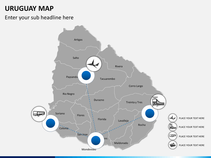
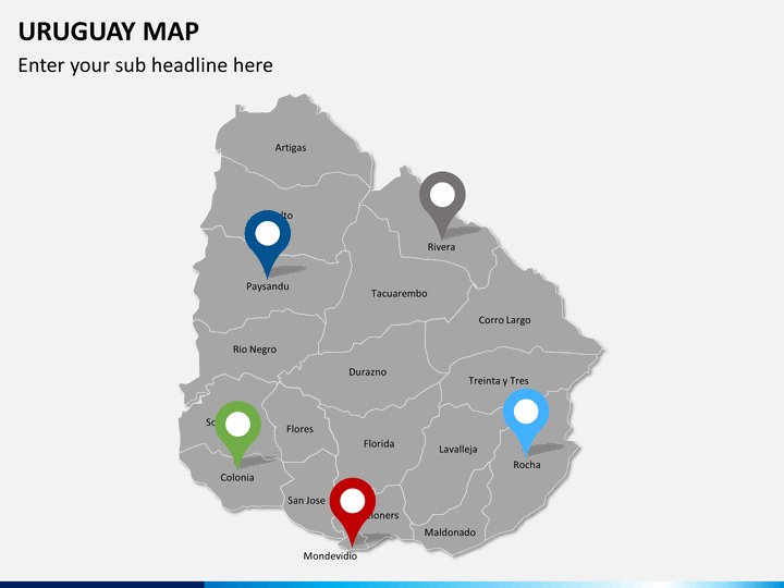
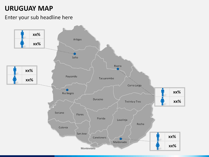
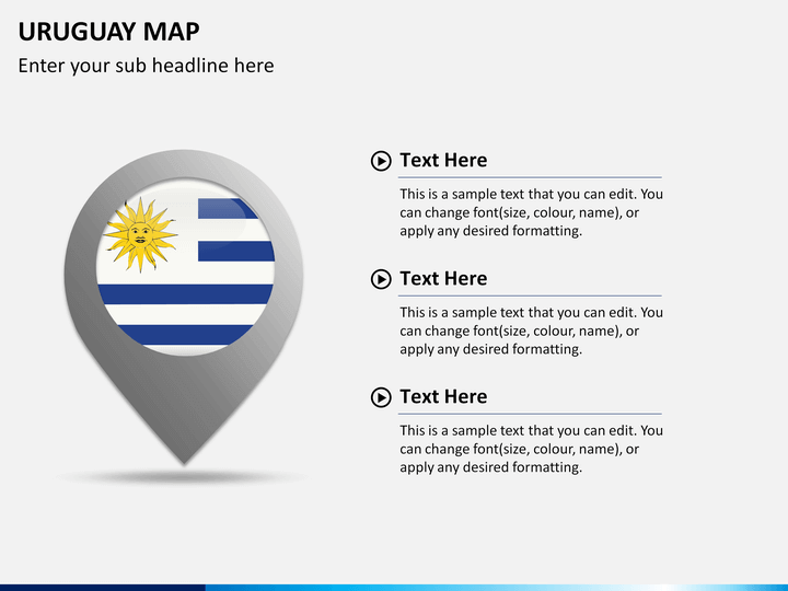
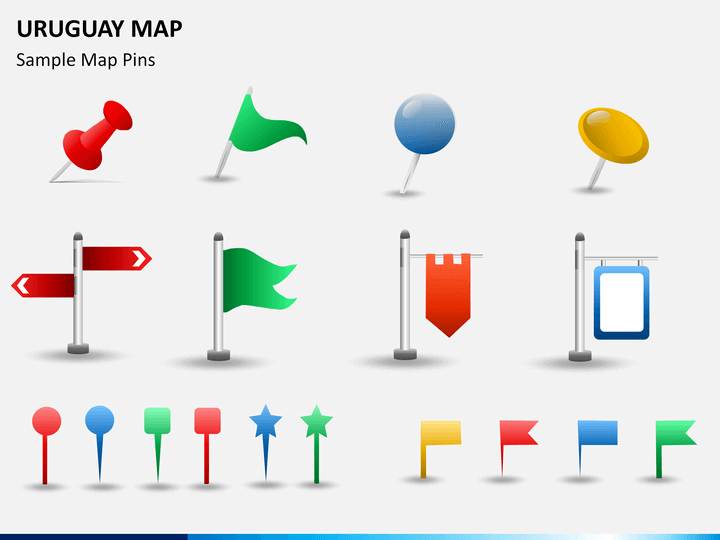
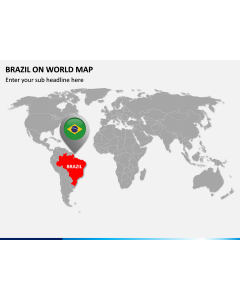
- The icons of map pins and GPS trackers: These icons can be used to highlight any specific city or area on the map.
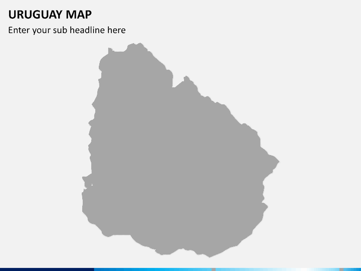
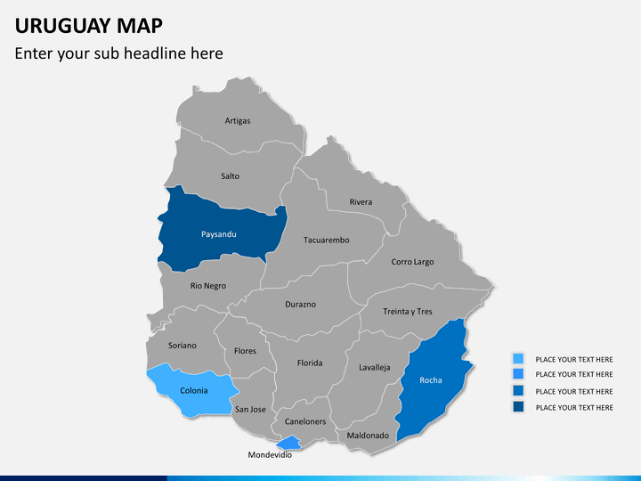
- Empty map: You can use it to highlight any specific information related to your business or other aspects.
- In one of the slides, routes are marked clearly, which can be used to communicate how to reach different places through different transportation mediums.
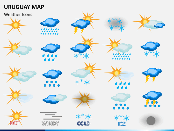
- Weather icons beautifully depict the hot, windy, cold, ice, rain, and thundering that can be used by meteorologists to represent the climatic conditions of different cities.
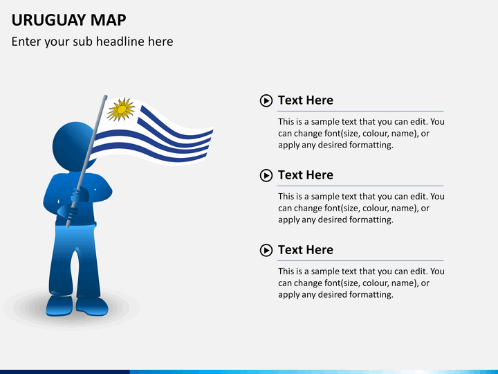
- One of the slides demonstrates a man with the flag of the country.
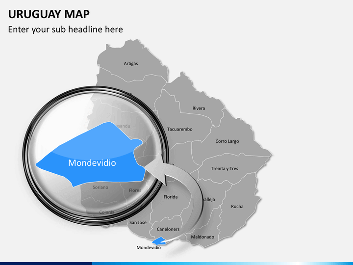
- Some of the slides display zoomed images of the major cities.
Multiple Features in One Deck
Our skilled designers have designed every minute component from scratch to avoid copyright issues. There are text placeholders where you can add on your own content.
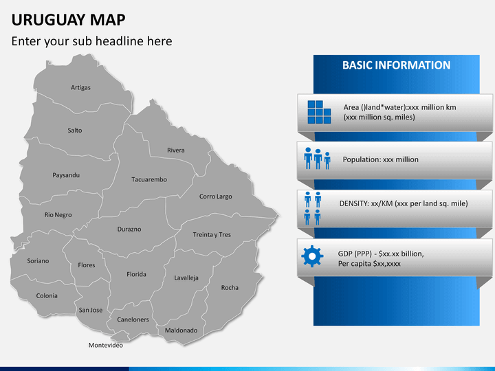
- The high-definition infographics are well-incorporated in the maps.
- You can increase or decrease the size and change the color of any region without fretting about their resolution.
- You can easily copy any visual element and paste it in any of your presentations.
- Once downloaded, you can reuse it multiple times in the future.
- It is compatible with multiple platforms like MS PowerPoint, Apple Keynote, and Google Slides.
Download this Uruguay Map PPT immediately!