

Kentucky Map for PowerPoint and Google Slides
Kentucky Map for PowerPoint and Google Slides
(14 Editable Slides)


(14 Editable Slides)
Related Presentation Templates


The Best-in-class Visuals
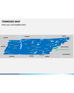
Are you planning to work on an important document related to the state of Kentucky? If you want to make an everlasting impression on your audience, then this editable Kentucky Map PPT template has got you covered. Featuring some of the best visuals, it will let you explore vital details about this US state engagingly. Our designers have come up with these high-definition PowerPoint maps so that you can save your time working on your next slideshow. They are compatible with MS PowerPoint, Apple Keynote, and Google Slides.
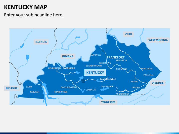
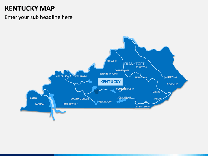
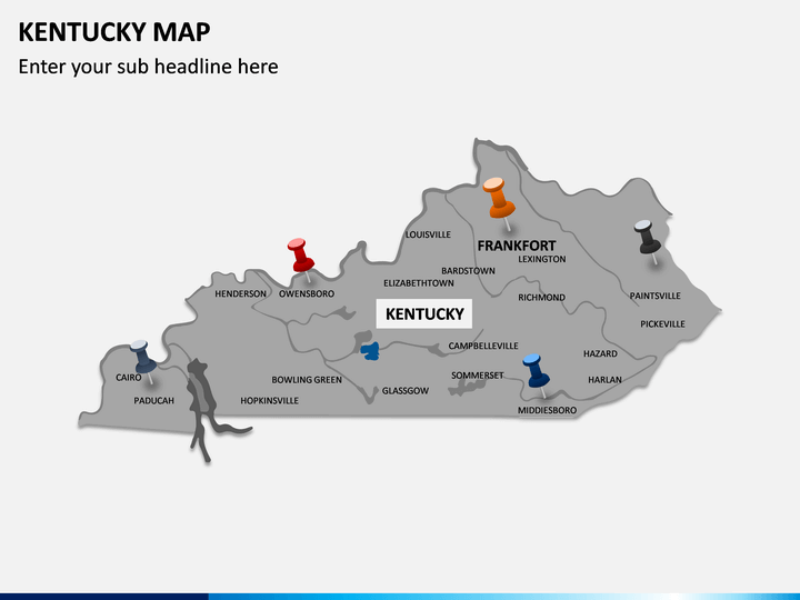
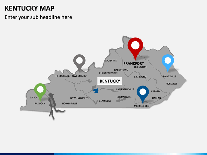
Cover Every Detail
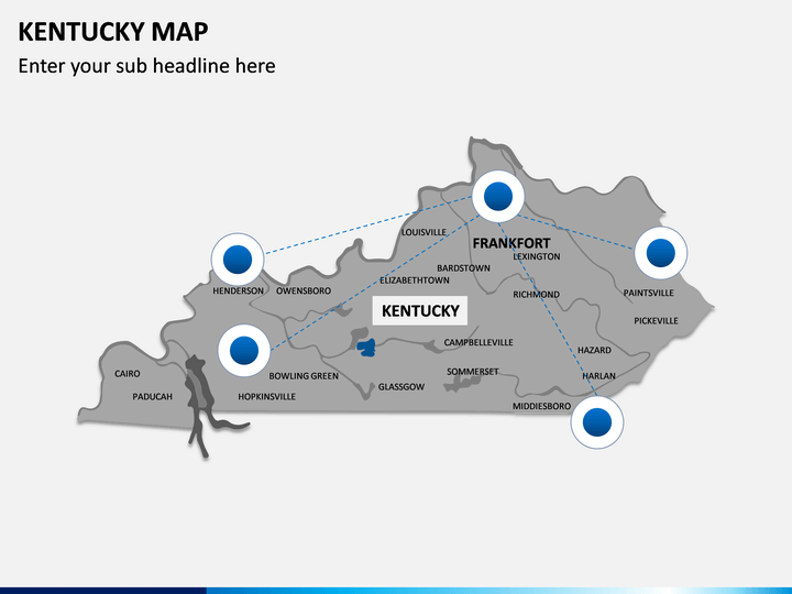
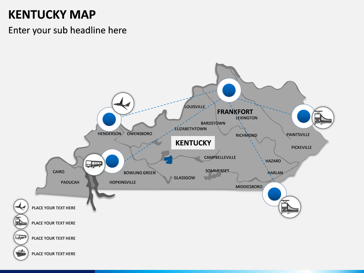
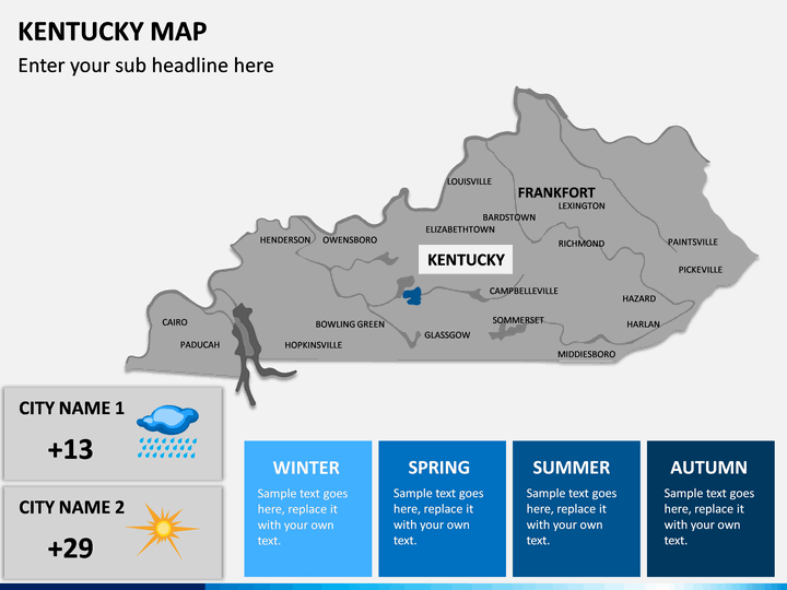
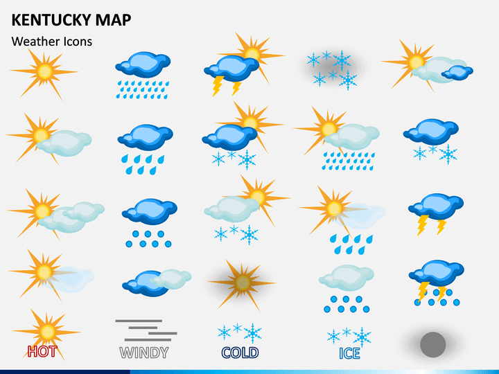
It doesn’t matter if you are trying to represent the political or geographical map of the state – you will find it all in this set. As you can see, these Kentucky Map PPT slides have included all the major regions of the state. Apart from showcasing its political map, you can also cover the major attractions, its connectivity, demographic distribution, climatic change, and so much more. Since we have already done all the work for you, you can clip out any illustration and use it the way you like.
Cater to a wide range of audience
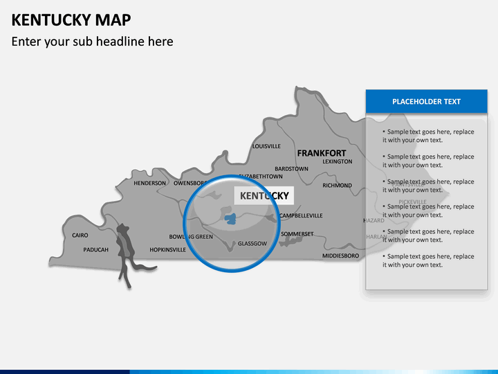
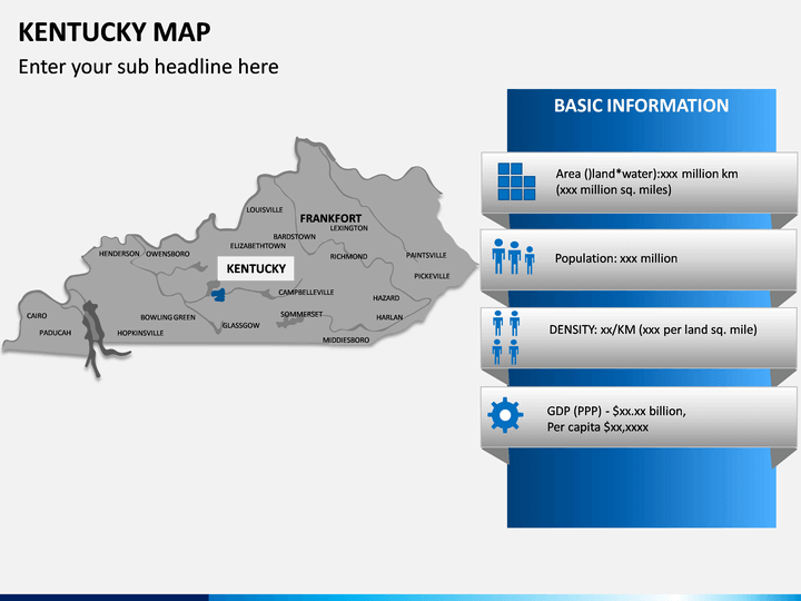
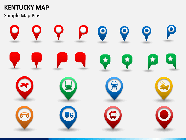
This is a highly extensive set that can serve all kinds of professional and academic presentations. You can use these maps to impress an overseas client or educate your audience about the state. There are also editable maps that you can use to represent your data about the state’s demographics, climatic, political, and other details. To further make your job easier, we have included easy-to-use icons and maps in the set. Go ahead and download this editable template and use these maps to draft an impressive slideshow for your audience.
About Kentucky
Officially known as the Commonwealth of Kentucky, it is a thriving state in the central-east region of the United States. It was originally a part of Virginia and became an independent state in 1792. Bordered by states like Virginia, Tennessee, Ohio, Indiana, and Illinois, it is known for its lush green meadows and natural lakes. Apart from that, the state is also famous for its culture, music, historic parks, automobile plants, distilleries, and food. While Louisville is its largest city, Frankfort sits as its capital.