

Wisconsin Map for PowerPoint and Google Slides
Wisconsin Map for PowerPoint and Google Slides
(9 Editable Slides)


(9 Editable Slides)
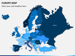
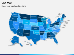
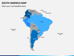
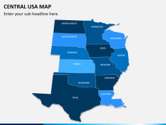
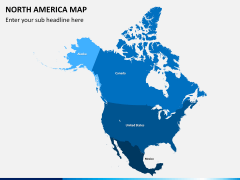
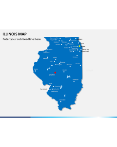
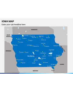
Related Presentation Templates
Draft informative and visually appealing slideshows using this Wisconsin Map PPT template. These maps are designed by our professionals after extensive research to make sure that you save your time drafting stunning slides related to this US state.
About Wisconsin
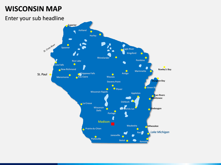
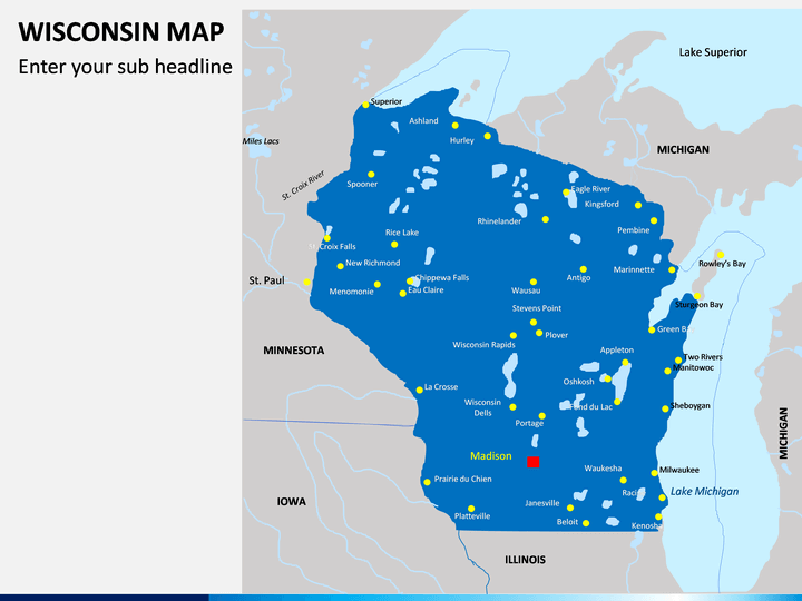
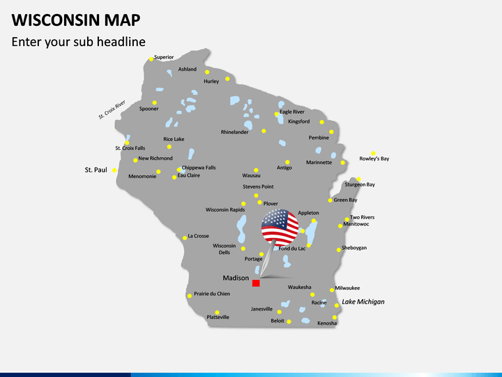
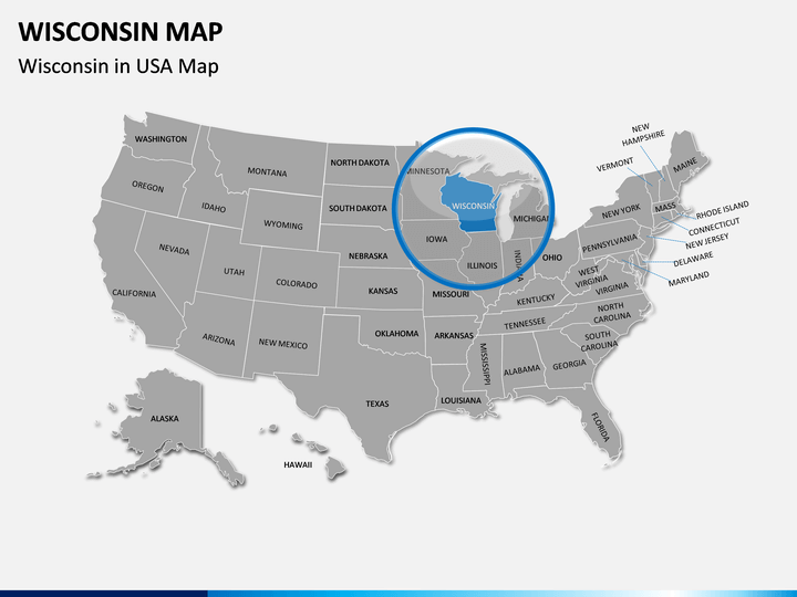
Located in the Great Lakes and Mid-west regions of the United States of America, Wisconsin is the 23rd largest and the 20th most populous state in the country. It is bordered by Lake Michigan on one side and states like Minnesota, Iowa, and Illinois on the other. As of now, this US state comprises of 72 different counties with Madison as its capital and Milwaukee as its biggest city. The state is majorly known for its dairy, agriculture, manufacturing, IT, and tourism industry. Since it is the leading dairy producer in the country, it is often known as America’s Dairyland.
Major Features
- In this deck, you will find various styles of maps to depict its geography, political division, major cities, and more.
- Our designers have also come up with dedicated slides to depict various demographic details related to the state is a visually appealing manner.
- All these maps are 100% editable, which means you can add your data, and change their overall appearance pretty easily.
- The maps and other vectors included in this set can be used with major applications like MS PowerPoint, Apple Keynote, and Google Slides.
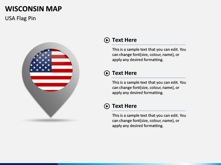
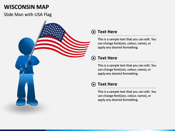
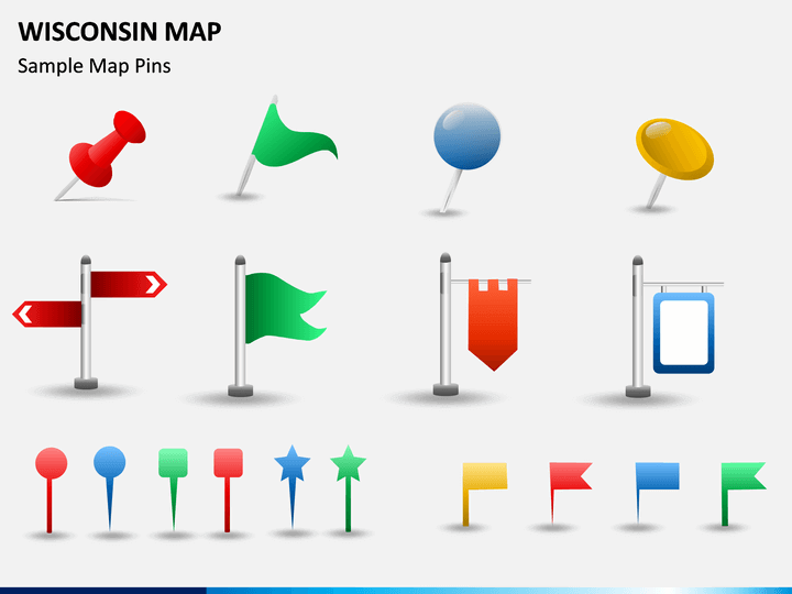
- Besides maps, you can also find various other figures, pins, and vectors related to the state to make it easier for you to customize your slides.
Who can Use it?
If you also wish to draft presentations related to this US state, then these Wisconsin Map PowerPoint slides would be right for you. Using them, you can educate your audience about the geographical or political division of the state. These maps can also be used to pitch clients, explain local marketing strategies, or provide any demographic detail in an interesting way.
How to Use it?
Once you have downloaded the PPT, you can use these maps with applications like Microsoft PowerPoint, Apple Keynote, or Google Slides. You can later alter their appearance, change their color themes, add your content, and do so much more in minutes.