

Minneapolis Map for PowerPoint and Google Slides
Minneapolis Map for PowerPoint and Google Slides
(6 Editable Slides)

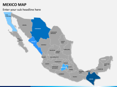
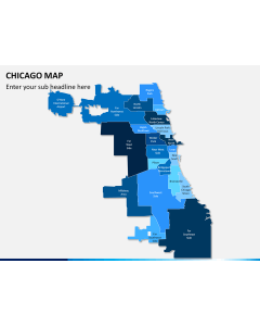
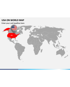
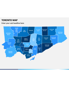
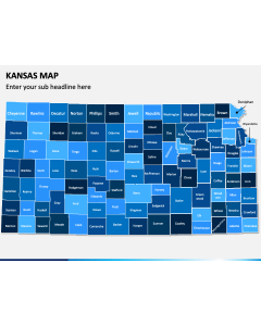
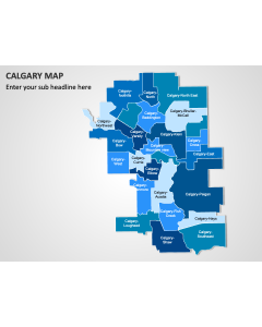
Related Presentation Templates


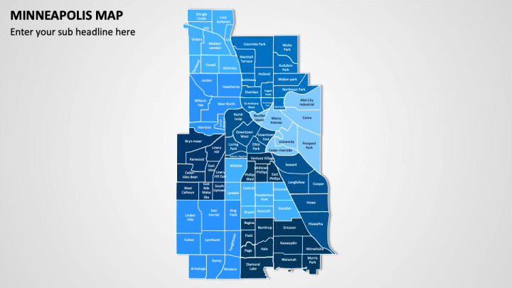
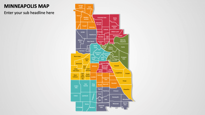
With our Minneapolis Map template for PowerPoint and Google Slides, you can pinpoint the city’s location within Minnesota and the United States, along with its boundaries, neighborhoods, and districts. Business professionals can depict company office locations, sales territories, customer demographics, and more. Real estate agencies can utilize this versatile deck to display new construction projects and zoning areas in Minneapolis. City planners can visualize the ongoing and upcoming development projects in the city. Tour advisors can illustrate tourist hotspots, cultural sites, entertainment venues, and more in Minneapolis. Educators can also use this set to portray population density and distribution across different areas of Minneapolis.
The slides feature -
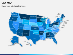
- a geographic map showcasing the main regions and districts of Minneapolis.
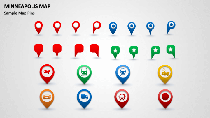
- icons of map pins and GPS pins with symbols of an airplane, train, car, ship, truck, etc., which can be used to depict the transportation facilities in the city.
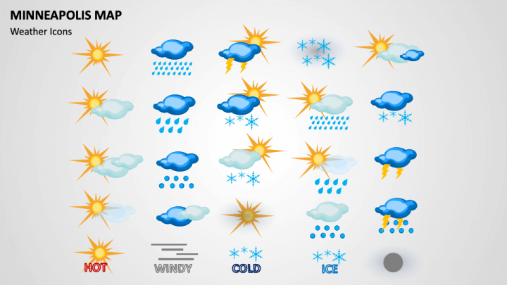
- the visuals of clouds with the Sun, rain droplets, and more, which can be used to highlight the weather and climatic conditions of the city.
Features
- Fuss-free editing
- High-quality visuals
- Copyright issue-free designs
- 24/7 customer support
- Lifetime access
Improve your presentation’s visual allure with this PPT; download it now!