

Iceland Map for PowerPoint and Google Slides
Iceland Map for PowerPoint and Google Slides
(15 Editable Slides)


(15 Editable Slides)
Related Presentation Templates
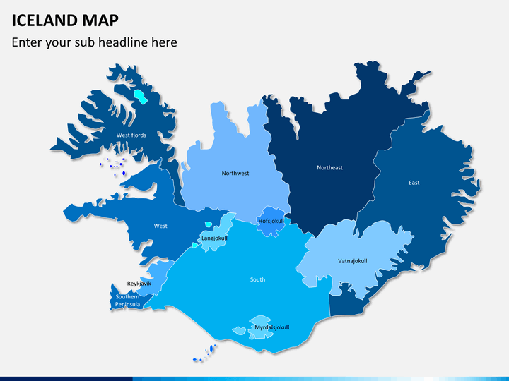
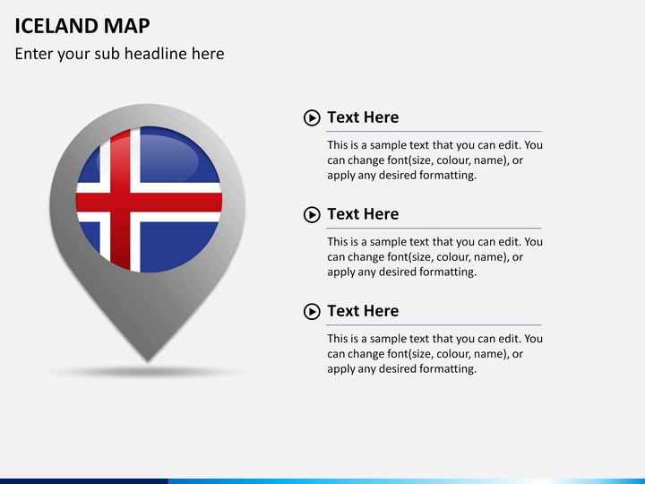
A successful presentation calls for innovative and versatile designs, and for that, the Iceland Map PowerPoint template is the best fit as the slides offer both innovation and versatility. It is a fully editable set of professionally-designed slides comprising beautiful maps of Iceland, a Nordic island nation in the North Atlantic.
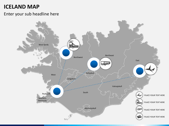
The high-quality clip art icons and graphics included in this PPT let you demonstrate and explain this European country's critical aspects to the intended audience engagingly. The set is perfectly compatible with Microsoft PowerPoint, Apple Keynote, and Google Slides. So, download it and get ready to ace your next presentation!
Who can Use this Deck?
The maps can be used by business professionals, educators, researchers, travelers, and other professionals for illustrating extensive information in an understandable manner.
The maps can be used:
- to present investment and expansion opportunities in Iceland to the investors, financiers, shareholders, and other stakeholders.
- for discussing and illustrating the locations for setting up new business units and branches of the company.
- to present and discuss different issues in the international conferences held in the country.
- for accurately displaying the locations on the map and discussing crucial business details such as strategic business locations, market share, growth in revenue and customers, etc.
- to share specific tourist destinations, the best time to visit, travel itineraries, modes of travel, etc. of this Nordic island nation.
- for showcasing accurate information about the weather conditions and forecasts of different regions in the country.
- to provide information about Iceland's culture to the new tourists.
Incredible Features of the Deck
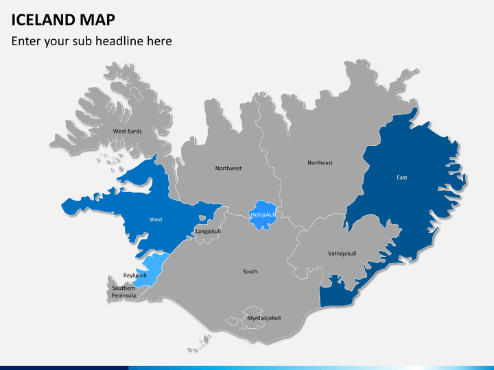
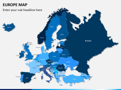
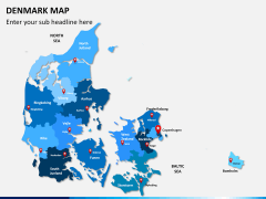
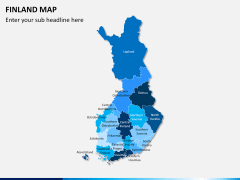
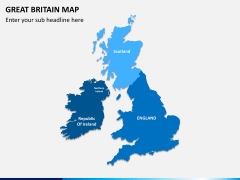
- The boundaries are highlighted with precision, and the major cities, towns, and landforms are accurately marked.
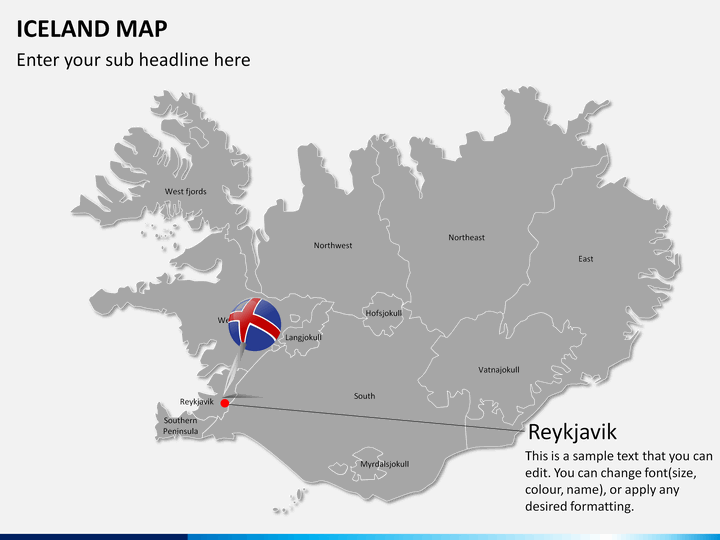
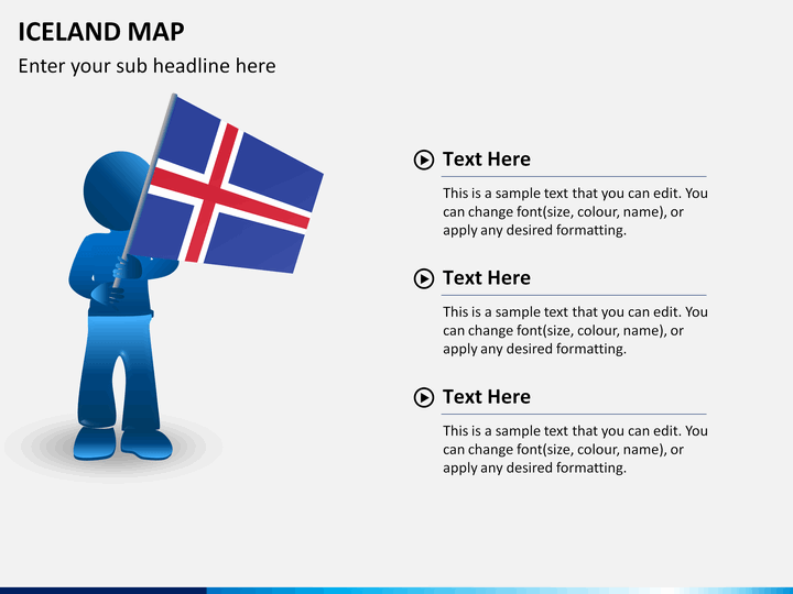
- One of the slides showcases a man with the Iceland flag, which can be leveraged to showcase your business presence in the country.
- Weather icons can be used to showcase the climatic conditions of different cities in an appealing manner.
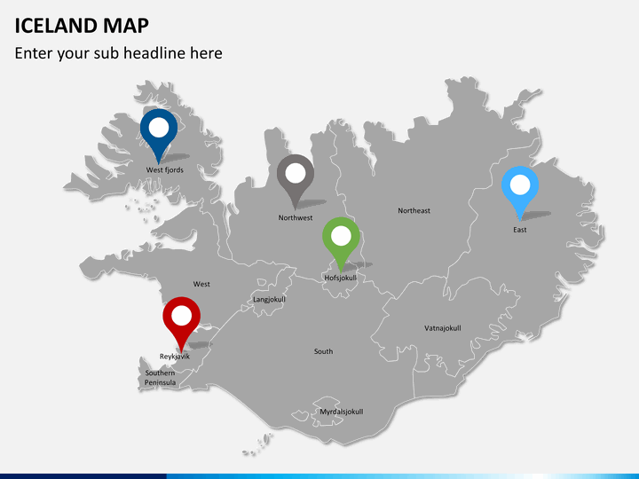
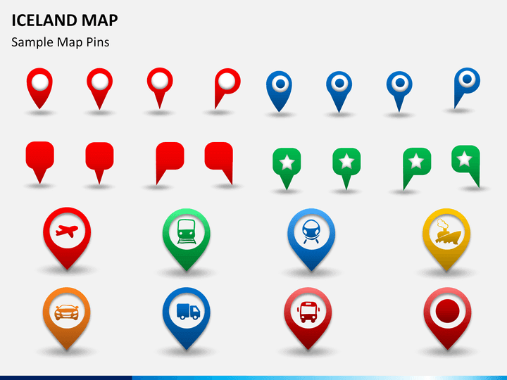
- With the help of varying map pins, GPS markers, flags, and weather icons, you can easily create comprehensible presentations. For instance, if you want to highlight any specific region of the country, change its color and place a map pin to bring it to the viewers' notice.
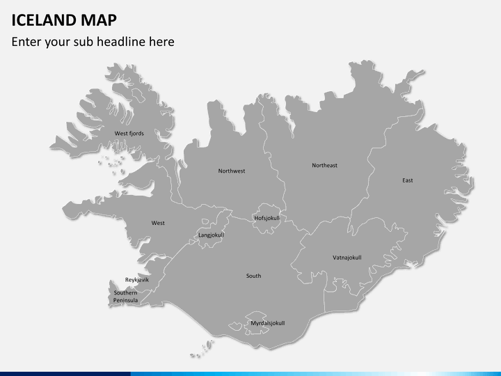
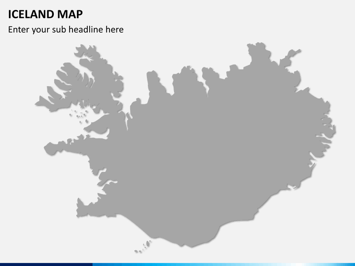
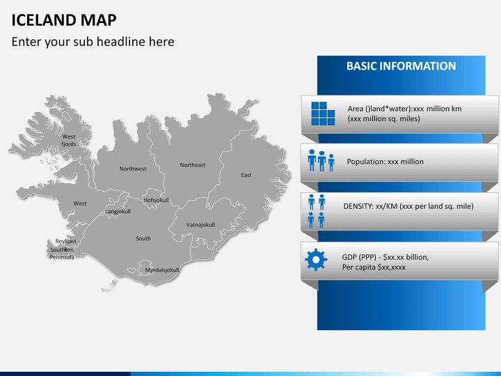
- We have also provided an empty map, which you can use to depict information relating to demographics, tourism, social & economic data, etc. of a specific region.
- HD vectors have been used to make these maps more enriching.
- You can write the content in the text placeholders without any hassle.
Now deliver a compelling slideshow and leave a lasting impression on your audience. Download the Iceland Map PPT right away!