

BeNeLux Map for PowerPoint and Google Slides
BeNeLux Map for PowerPoint and Google Slides
(16 Editable Slides)

(16 Editable Slides)
Related Presentation Templates
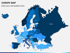
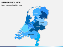
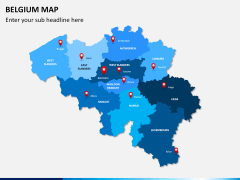

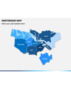
BeNeLux is a political and economic union of the three neighboring western European nations - Belgium, Netherlands, and Luxemburg. It was established way back in 1944 and currently holds a major position in the global politics. The head of the union is located in Brussels and it features an impressive GDP as well as the Human Development Index value. It is the union of some of the most affluent nations in the world, which makes it a force to be reckoned with. If your business also deals with these western European nations, then you should download this extensive Benelux Map PowerPoint template.
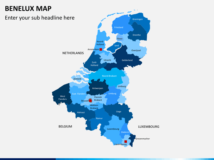
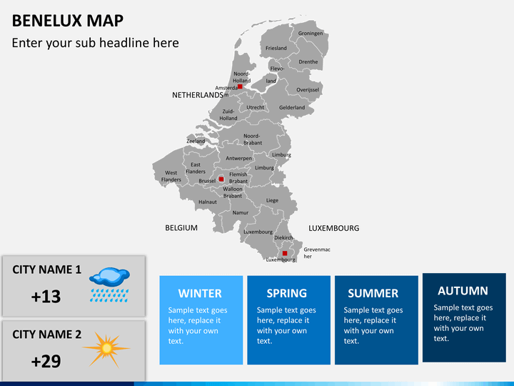
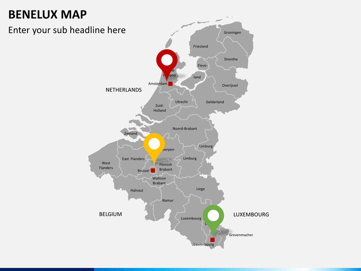
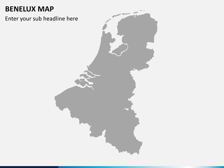
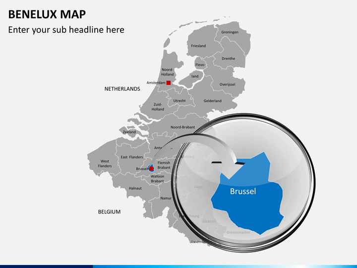
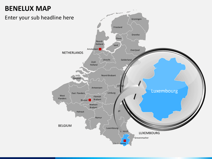
Our experts have walked an extra mile while drafting an in-depth set on BeNeLux map. We have combined the three nations together while displaying all the major regions and cities. No matter what kind of domain you belong to, if you are associated with the region, then you can use this set in plenty of ways. From pitching a marketing plan to representing your demographics or any other statistics related to the region, there are plenty of things you can do with these slides. The set consists of different styles of geographic, political, and cultural maps that will come handy to you on several occasions.
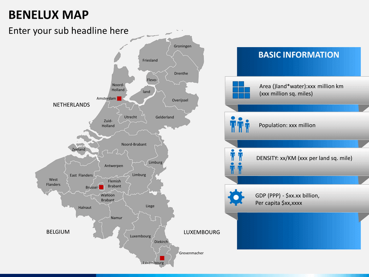
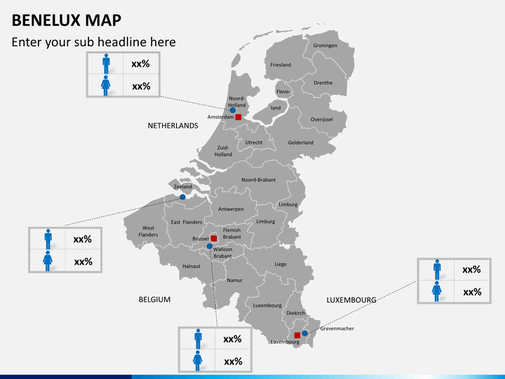
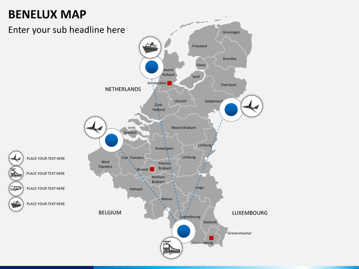
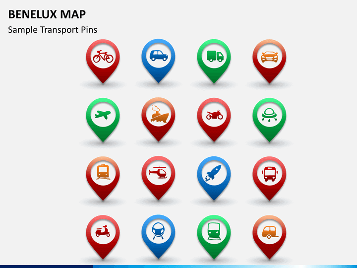
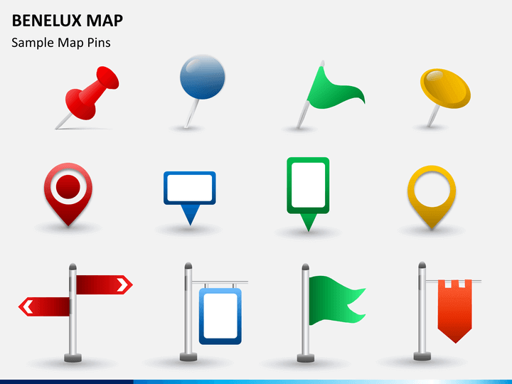
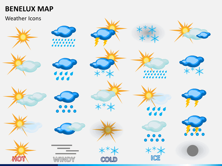
The template set includes different styles of maps, letting you depict every kind of crucial information to your audience. If you wish to focus on a specific region, then you can always zoom it out and provide your well-researched data. Additionally, you can always display various demographic-related stats while comparing different regions or focusing on them as a whole. From depicting the gender ratio to GDP and weather breakdown to the connectivity between various regions - you can do it all with this set. Additionally, you can provide information related to transportation, major regions, metros, and a lot more.
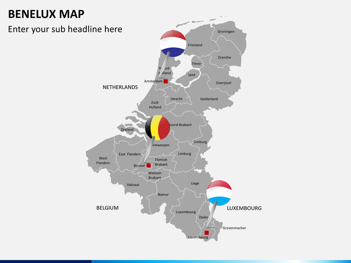
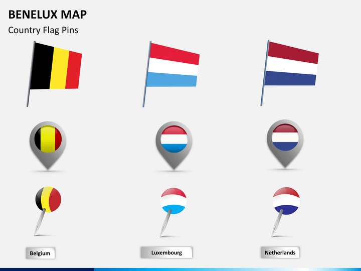
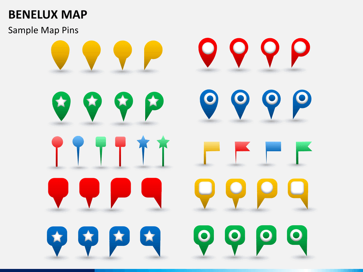
We have also included different pins related to the region's geography, weather, and more. You can just clip these pins and include them in any desired slide. Since the entire template is 100% editable, you can easily edit these illustrations and maps with a single click. Change its placement, background, overall layout, and more without having any prior knowledge of designing. Get in touch with our dedicated customer team if you face any setbacks and utilize these maps as per your needs.